21.4 miles
Distance
1,769 ft
Climb
-2,227 ft
Descent
1 mile
High Point
Calf Mesa Loop Details
-
Activities
- Dirtbike/Moto
- ATV/ORV/OHV
-
Riding AreaChimney Rock-Woodside
Green River, Utah -
Difficulty Rating
-
Trail TypeSingletrack
-
DirectionBoth Directions
-
Climb DifficultyDouble Black Diamond
-
Physical RatingHard
-
Trail VisibilitySometimes hard to follow
-
Dogs AllowedYes
-
eBike Allowed
-
TTFs on TrailRock Garden
-
Local Popularity5 in Dirtbiking [+]
- 5 in ATVing/Offroading
-
Land OwnerBLM, Utah Trust Lands
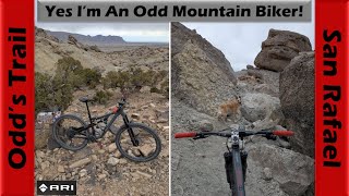
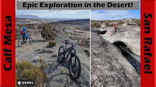
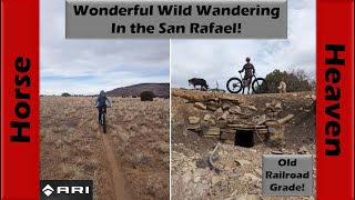
Moto singletrack looping south from the Cutoff Road around the Calf Mesa area. Lot of variety from sand to rocky tech. Extremely remote and rugged terrain.
More Stats for Calf Mesa Loop dirtbike/moto trail trail
-
Altitude change-460 ft
-
Altitude min4,701 ft
-
Altitude start5,288 ft
-
Altitude end4,829 ft
-
Grade-0.4%
-
Grade max-33.8%
-
Grade min38.9%
-
Distance climb9 miles
-
Distance down11 miles
-
Distance flat1 mile
- view trail stats
This trail is missing GPS data, you can help by uploading a GPS track of Calf Mesa Loop here.
update trails status or condition
Calf Mesa Loop Trail Reports
no reports have been added for Calf Mesa Loop yet, add a trail report.
Trail reports are used to indicate a trails current condition and inform builders and other riders about any issues on a trail.
Photos
more »
Reviews / Comments
No reviews yet, be the first to write a review or ask a question.
Use trail reports to comment on trail conditions.
We hope you've been enjoying Trailforks!
Create a FREE account to view trail comments and much more.
Videos
more »
Nearby Trails
- Pizza-south 3 miles
- Belly Button 3 miles
- Pizza-central 3 miles
- Pizza-north 3 miles
- Summerville Wash-south 4 miles
Chimney Rock-Woodside
- By minerbiker
& contributors
- #738414 - 136 views
- follow/subscribe
- login to download gpx or kml files.
You must enter a description before submitting.