

Open in App
Get this trail on your phone instantly.

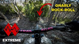
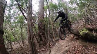
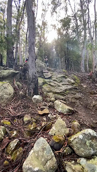
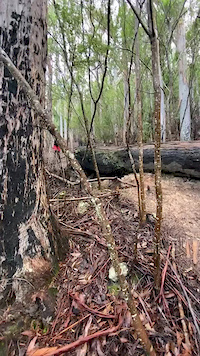
More difficult route that starts at the big rock drop / roll. Crosses Lower Loam Line with a Log ride / drop. Maybe double black from top to this point (only the 2 features). Probably Pro Line from Lower Loam Line down to the creek with very steep chutes, roots and drops.
Call 000 before you start so they are ready for you at the end.
Note that there is no easy water crossing at the end.
This trail is unsanctioned.
| c1 | c2 | c3 | c4 |
|---|---|---|---|
January | February | March | April |
May | June | July | August |
September | October | November | December |

Service Road Atlas is a free to use, community-driven service for viewing and creating reports on the numerous back-country service roads around B.C. and Alberta.
Save the current map location and zoom level as your default home location whenever this page is loaded.
SaveWe hope you've been enjoying Trailforks!
Create a FREE account to view all trail reviews and much more.
You must enter a description before submitting.

