


 Berm
BermOpen in App
Get this trail on your phone instantly.

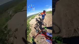
Currently a work in progress by the Baseline Mountain Biking Club. When completed, this trail will be Baseline's friendliest trail with some new-school and old-school flow through classic Baseline rocks and loam. At the moment the trail is roughly cut after being abandoned for years. Natural hazards and obstacles exist but the trail is open top to bottom and definitely fun to ride
Named after Baseline's most infamous trail builder.
Drops in from the road on the corner where Soft DH and Baseline DH merge. If riding Baseline DH, take a hard right at the rock jump.
| c1 | c2 | c3 | c4 |
|---|---|---|---|
January | February | March | April |
May | June | July | August |
September | October | November | December |

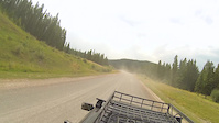
Service Road Atlas is a free to use, community-driven service for viewing and creating reports on the numerous back-country service roads around B.C. and Alberta.
Save the current map location and zoom level as your default home location whenever this page is loaded.
SaveWe hope you've been enjoying Trailforks!
Create a FREE account to view trail comments and much more.
You must enter a description before submitting.

