


Open in App
Get this trail on your phone instantly.

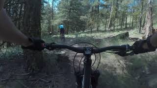
The classic east-side descent from the summit to the TCT, originally cobbled together from game trails around 2006, then fixed up and extended over the years. It's not technically difficult, but gets more challenging when it's dry and looser in summer. It's a fast descent on a bike, but you can take your time, enjoying the views from the open ridges. A couple of sections have fun, flowing berms. This one gets fairly regular maintenance, as one of the two main routes down from the top. Hikers use the route as well.
The municipality recently designated this area as Mount Conkle Park, and will be including it as part of their upcoming recreation plan.

| c1 | c2 | c3 | c4 |
|---|---|---|---|
January | February | March | April |
May | June | July | August |
September | October | November | December |


Service Road Atlas is a free to use, community-driven service for viewing and creating reports on the numerous back-country service roads around B.C. and Alberta.
Save the current map location and zoom level as your default home location whenever this page is loaded.
SaveWe hope you've been enjoying Trailforks!
Create a FREE account to view trail comments and much more.
 & contributors
You must enter a description before submitting.

