
Open in App
Get this trail on your phone instantly.

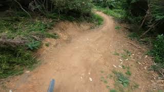
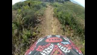
Originally built by Brent Rayner and Chris Brown, and revamped in November 2020 by Trail Pro. A clay based trail that winds its way from the upper park to the lower. Fast and dusty in summer but muddy and wild in winter. Has many berms and doubles.
Watch the exit as trails merge as you return to the road.
North-facing, so dries a bit faster than most other tracks in the forest.
| c1 | c2 | c3 | c4 |
|---|---|---|---|
January | February | March | April |
May | June | July | August |
September | October | November | December |

Service Road Atlas is a free to use, community-driven service for viewing and creating reports on the numerous back-country service roads around B.C. and Alberta.
Save the current map location and zoom level as your default home location whenever this page is loaded.
SaveWe hope you've been enjoying Trailforks!
Create a FREE account to view trail comments and much more.
You must enter a description before submitting.

