


Open in App
Get this trail on your phone instantly.

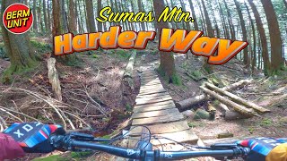
Be sure to visit the lookout at the top, before heading down the trail. Located just before reaching the tower at the summit of Sumas Mountain (elevation 3000 ft approx.) Trail features some fast sections, mixed with technical areas more suitable for advance riders including a few steep sections, rocks, and roots and a few nice rock rolls or drops. Some peddling required, especially at the beginning.
Previously known as Knob, the trail was renamed Harder Way in honour of FVMBA's founder and first president - Gary Harder.


| c1 | c2 | c3 | c4 |
|---|---|---|---|
January | February | March | April |
May | June | July | August |
September | October | November | December |

Service Road Atlas is a free to use, community-driven service for viewing and creating reports on the numerous back-country service roads around B.C. and Alberta.
Save the current map location and zoom level as your default home location whenever this page is loaded.
SaveWe hope you've been enjoying Trailforks!
Create a FREE account to view all trail reviews and much more.
 & contributors
You must enter a description before submitting.

