1.9 miles
Distance
10 ft
Climb
-393 ft
Descent
00:16:21
Avg time
Supporters, Builders, Maintainers & Land Managers of Jumping Mouse Trail
  • Builder is on youtube
    Sponsor

Jumping Mouse Details

  • Activities
    • Mountain Bike
  • Riding Area
    Greer Ranch
    Murrieta, California
  • Difficulty Rating
  • Voted Difficulty
    Black Diamond (1 vote)
  • Trail Type
    Singletrack
  • Bike Type
    AM
  • Direction
    One Direction
    Popular direction shown
  • Climb Difficulty
    Blue
  • Physical Rating
    Moderate
  • Trail Visibility
    Always easy to follow
  • eBike Allowed
  • TTFs on Trail
    Berm, Drop, Jump, Gap Jump, Roller Coaster, Skinny
  • Local Popularity
    85 in Mountain Biking
  • Year Opened
    2019

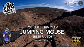
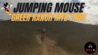
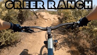
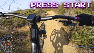
Great high-speed, if you want, flow trail that offers great jumps, gap jumps, berms. Lower section perfect for sessioning and practicing jumping. Different gap lengths that let you progress as your skills grow

Access Info

Off I215. A lot of folks park by new Kaiser building on east side of 215 and ride under interstate on Keller rd

Traditionally Indigenous Territory
More Stats for Jumping Mouse mountain bike trail trail
  • Altitude change
    -380 ft
  • Altitude min
    1,576 ft
  • Altitude max
    1,969 ft
  • Altitude start
    1,969 ft
  • Altitude end
    1,588 ft
  • Grade
    -3.7%
  • Grade max
    -29%
  • Grade min
    3.5%
  • Distance climb
    1,519 ft
  • Distance down
    1 mile
  • Distance flat
    1,155 ft
  • Avg time
    00:16:21
  • Avg reverse time
    00:18:43
  • view trail stats
Status:
on Jan 2, 2024
Ideal
Avg: 4.24 (6 votes)
Your vote: 0

view (3,164)
close
3D
Trail Conditions
  • Unknown
  • Snow Groomed
  • Snow Packed
  • Snow Covered
  • Snow Cover Partial
  • Freeze/thaw Cycle
  • Icy
  • Prevalent Mud
  • Wet
  • Variable
  • Ideal
  • Dry
  • Very Dry
Trail Flow (Ridden Direction)
Trailforks scans users ridelogs to determine the most popular direction each trail is ridden. A good flowing trail network will have most trails flowing in a single direction according to their intension.
The colour categories are based on what percentage of riders are riding a trail in its intended direction.
  • > 96%
  • > 90%
  • > 80%
  • > 70%
  • > 50%
  • < 50%
  • bi-directional trail
  • no data
Trail Last Ridden
Trailforks scans ridelogs to determine the last time a trail was ridden.
  • < 2 days
  • < 1 week
  • < 2 weeks
  • < 1 month
  • < 6 months
  • > 6 months
Trail Ridden Direction
The intended direction a trail should be ridden.
  • Downhill Only
  • Downhill Primary
  • Both Directions
  • Uphill Primary
  • Uphill Only
  • One Direction
Contribute Details
Colors indicate trail is missing specified detail.
  • Description
  • Photos
  • Description & Photos
  • Videos
Trail Popularity ?
Trailforks scans ridelogs to determine which trails are ridden the most in the last 9 months. Trails are compared with nearby trails in the same city region with a possible 25 colour shades. Think of this as a heatmap, more rides = more kinetic energy = warmer colors.
  • most popular
  • popular
  • less popular
  • not popular
ATV/ORV/OHV Filter
Max Vehicle Width
inches
US Cell Coverage
Legend
cell carrier legend

Radar Time
x Activity Recordings
Trailforks users anonymized public ridelogs from the past 6 months.
  • mountain biking recent
  • mountain biking (>6 month)
  • hiking (1 year)
  • moto (1 year)
Activity Recordings
Trailforks users anonymized public skilogs from the past 12 months.
  • Downhill Ski
  • Backcountry Ski
  • Nordic Ski
  • Snowmobile
Winter Trails
Warning A routing network for winter maps does not exist. Selecting trails using the winter trails layer has been disabled.
x Missing Trails
Most Popular
Least Popular
Trails are colored based on popularity. The more popular a trail is, the more red. Less popular trails trend towards green.
Jump Magnitude Heatmap
Heatmap of where riders jump on trails. Zoom in to see individual jumps, click circles to view jump details.
Trails Deemphasized
Trails are shown in grey.
disable
Only show trails with NO bikes.
enable

Save the current map location and zoom level as your default home location whenever this page is loaded.

Save
      Directions to jumping-mouse trailhead (33.623360, -117.192940)
      update trails status or condition

      Jumping Mouse Trail Reports

      statusdatedescription
      Jan 2, 2024 @ 9:25am
      Jan 2, 2024
      Dec 16, 2023 @ 8:00am
      Dec 16, 2023
      Nov 19, 2023 @ 10:50am
      Nov 19, 2023
      The beginning section is rutted out and needs care
      May 16, 2023 @ 2:26am
      May 16, 2023
      Lots of weeds! Narrow and hard to see into some of the turns.
      Apr 2, 2023 @ 1:16am
      Apr 2, 2023
      Ok
      view all reports »

      Recent Ridelog Activity on Trail

      Past Week
      • 3 rides
      • 11 miles avg distance
      6 Months
      • 48 rides
      • 12 miles avg distance
      All
      • 360 rides
      • Last: Jan 18, 2025

      Photos

      more »
      96 |
      Jul 13, 2024 @ 9:13am
      Jul 13, 2024
      97 |
      Dec 14, 2023 @ 1:55pm
      Dec 14, 2023

      1 Review & Comments


      We hope you've been enjoying Trailforks!

      Create a FREE account to view trail comments and much more.

      Videos

      more »
      youtuber MTB Riding Jumping Mouse, Greer Ranch, CA,...
      5:02 | 7 | Jan 19, 2025 , Murrieta
      youtuber Jumping Mouse Greer Ranch MTB trail
      2:40 | 522 | Mar 17, 2022 , Murrieta
      Greer Ranch Has Got The Goodies!!! | MTB Ride...
      28:04 | 46 | Jul 12, 2024 , Murrieta
      Mountain Biking Open World Video Game in Real Life
      12:00 | 132 | Feb 23, 2024 , Murrieta
      • By F1xster & contributors
      • #185011 - 2,074 views

      You must enter a description before submitting.