

Open in App
Get this trail on your phone instantly.

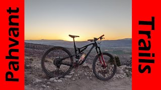
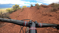
Bi-directional trail that is part of thePahvant MTB trail system. Trail follows gentle climbing slopes with generous berms on turns, slick rock sections, and amazing scenery. The higher up you go the more technical challenges you will encounter. Excellent trail that provides access to multiple downhill alternatives.
can access the trail from the north I-70 interchange
| c1 | c2 | c3 | c4 |
|---|---|---|---|
January | February | March | April |
May | June | July | August |
September | October | November | December |

Service Road Atlas is a free to use, community-driven service for viewing and creating reports on the numerous back-country service roads around B.C. and Alberta.
Save the current map location and zoom level as your default home location whenever this page is loaded.
Save


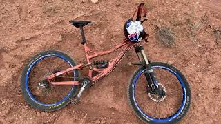
 Rock Garden Rock Garden
We hope you've been enjoying Trailforks!
Create a FREE account to view trail comments and much more.
You must enter a description before submitting.

