
more stats
1.5 miles
Distance
-1,499 ft
Descent
00:14:16
Avg time
-1,499 ft
Altitude change
3,917 ft
Altitude min
5,417 ft
Altitude max
5,417 ft
Altitude start
3,917 ft
Altitude end
-19.3%
Grade
-55.5%
Grade max
1.2%
Grade min
56 ft
Distance climb
1 mile
Distance down
197 ft
Distance flat
00:14:16
Avg time

La Soca Details

  • Activities
    • Mountain Bike
    • E-Bike
  • Riding Area
  • Difficulty Rating
  • Local Popularity
    100 in Mountain Biking [+]
    • 100 in E-Biking
  • Global Ranking
    #31847 in Mountain Biking [+]
    • #62232 in E-Biking
  • National Ranking
    #1,932 in Mountain Biking · Spain [+]
    • #6,585 in E-Biking
  • Trail Type
    Singletrack
  • Bike Type
    DH, AM
  • Direction
    Downhill Only
    Popular Direction Shown
  • Physical Rating
    Moderate
  • Dogs Allowed
    Yes
  • eBike Allowed
    Yes up to Class 1
  • TTFs on Trail
    Berm, Jump, Gap Jump

Trail molt ben treballat i palejat, salts, peraltes i molta pendent a la part final, que em fang es posa complicada. Baixada prou llarga

Tags
BermsJumps

Recent Activity on Trail

Past Week
  • 2 rides
  • 14 miles average
6 Months
  • 49 rides
  • 13 miles avg distance
All
  • 115 rides
  • Last: Oct 17, 2026
c1c2c3c4
January
February
March
April
May
June
July
August
September
October
November
December
update trails status or condition

La Soca Trail Reports

statusdatedescription
Jun 27, 2026 @ 11:06pm (Europe/Madrid)
Jun 27, 2026
reporter
Jun 14, 2026 @ 7:30pm (Europe/Madrid)
Jun 14, 2026
reporter Hi ha força més peraltes i més treballats que fa un temps. Gran feina dels locals
May 31, 2026 @ 9:23am (Europe/Andorra)
May 31, 2026
No está mal, algún salt mal shapejat però prou bé per ser gratis
Apr 25, 2026 @ 3:00pm (Europe/Madrid)
Apr 25, 2026
Un espectacle… treballadissima. Hi ha trams que sembla més que estiguis en un bikepark que a un corriol. Moltes gràcies pel currazo.
Mar 29, 2026 @ 9:44pm (Europe/Madrid)
Mar 29, 2026
Brutal!!
more »
Status:
on Jun 27, 2026
Very Dry
Avg: 4.46 (10 votes)
Your vote: 0

view (702)
close
      Directions to la-soca trailhead (42.351040, 1.909170)

      Photos

      7 more »
      mtb
      56 |
      Nov 3, 2025 @ 11:26am
      Nov 3, 2025
      mtb
      54 |
      Nov 3, 2025 @ 11:26am
      Nov 3, 2025
      mtb
      50 |
      Nov 3, 2025 @ 11:26am
      Nov 3, 2025
      mtb
      108 |
      Mar 29, 2024 @ 2:34am
      Mar 29, 2024

      Videos

      5 more »
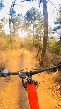
      Buen trail: La Soca
      mtb
      4:14 | 402 | Oct 21, 2024 , Puigcerda
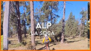
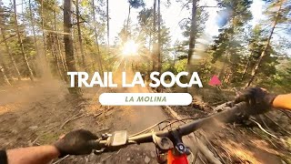
      Trail La Soca ​ - El Mejor Trail de la Molina?
      mtb
      7:04 | 334 | Sep 25, 2023 , Puigcerda
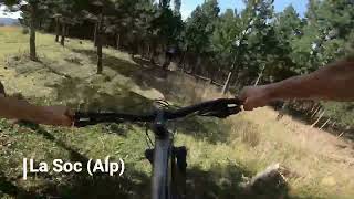
      Alp: La Soca (MTB)
      mtb
      7:00 | 320 | Jul 27, 2023 , Puigcerda
      Boscarro + La Soca
      mtb
      0:41 | 54 | Sep 5, 2023 , Puigcerda
      4.8 ★★★★★
      10 Ratings
      5 ★ 80%
      4 ★ 20%
      3 ★
      2 ★
      1 ★

      5 Reviews & Comments

      JuacoVilaro JuacoVilaro
      De los mejores senderos de la zona, muchas horas de los locales, recién construidas muchas zonas con mucho flow y todo bien pensado.
      LlusrCFofs
      Molt bon trail. Molt de flow al principi i bona pendent a partir de la meitat. Molt agradable de baixar i disfrutar de l'entorn.
      Bennek
      Bon corriol, sobretot la primera meitat. A la segona li cal manteniment, està molt escorrancada i perd màgia.

      We hope you've been enjoying Trailforks!

      Create a FREE account to view all trail reviews and much more.

      • By snaker4TF Pro TFSPAIN & contributors
      • #668560 - 1,295 views

      Frequently Asked Questions

      ▼ Where is La Soca located?
      La Soca is located in Puigcerda, Spain. It is part of the Puigcerda trail network. The trailhead is located at coordinates 42.35104, 1.90917.
      ▼ How hard is La Soca?
      La Soca is rated as Red difficulty. The physical rating is Moderate. The average grade is 19.3%.
      ▼ What is the elevation gain for La Soca?
      The trail has 1,499 ft of elevation descent. The elevation ranges from 3,917 ft to 5,417 ft.
      ▼ Is La Soca a point to point trail?
      Yes, La Soca is a point to point trail. The direction is Downhill Only. The trail type is singletrack.
      ▼ How long is La Soca?
      La Soca is 1.5 miles long. The trail type is singletrack.
      ▼ Are dogs allowed on La Soca?
      Yes, dogs are allowed on La Soca. Please keep dogs on a leash where required and clean up after them.
      ▼ How do I access La Soca? Where is the closest parking trailhead?
      The closest parking and trailhead locations to La Soca are: View all parking locations in the area.
      ▼ How long does it take to ride La Soca?
      Based on recorded activities, it takes an average of 14 minutes to ride La Soca. The trail is 1.5 miles long. Actual times will vary based on fitness level, conditions, and pace. View recent activity logs for more details.
      ▼ How busy is La Soca?
      La Soca is a very popular trail. There have been 614 recorded activities on this trail. The trail has received 702 check-ins. View recent activity on this trail.

      Hit the Trail

      Open in App

      Get this trail on your phone instantly.

      open trail in app

      Download Trail

      Save to wishlist, Garmin & download.
      save the trail

      Find Related Routes

      Find routes and users activities that include this trail.
      find routes for this trail

      You must enter a description before submitting.

