
more stats
1.4 miles
Distance
260 ft
Climb
-210 ft
Descent
00:10:19
Avg time
50 ft
Altitude change
768 ft
Altitude min
900 ft
Altitude max
768 ft
Altitude start
817 ft
Altitude end
0.671%
Grade
-15.893%
Grade max
24.907%
Grade min
3,871 ft
Distance climb
3,185 ft
Distance down
381 ft
Distance flat
00:10:19
Avg time

Ladera Ridge Details

  • Activities
    • Mountain Bike
    • Hike
    • Trail Running
  • Riding Area
    Tijeras Creek Trails
    Mission Viejo, California
  • Difficulty Rating
  • Voted Difficulty
    Blue (2 votes)
  • Local Popularity
    95 in Mountain Biking heatmap [+]
    • 70 in Trail Running
    • 100 in Hiking
  • Global Ranking
    #60716 in Mountain Biking [+]
    • #135988 in Trail Running
    • #92923 in Hiking
  • State Ranking
    #1,881 in Mountain Biking · California [+]
    • #6,831 in Trail Running
    • #5,245 in Hiking
  • Trail Type
    Singletrack
  • Bike Type
    XC
  • Direction
    Both Directions
  • Climb Difficulty
    Blue
  • Physical Rating
    Moderate
  • Season
    Year Round
  • Dogs Allowed
    Yes
  • TTFs on Trail
    Jump
  • Ride in Rain
    Yes
  • Land Owner
    County of Orange

Nice trail that follows a degraded fire road along a ridge. Gives access to a couple of downhills such as The Rage and Backdraft.

Tags
JumpsRidgeline

Local Trail Association

Traditionally Indigenous Territory

Recent Activity on Trail

Past Week
  • 2 rides
  • 8 miles average
6 Months
  • 116 rides
  • 17 miles avg distance
All
  • 956 rides
  • Last: Nov 18, 2026
Status:
on Nov 4, 2026
Ideal
Avg: 3.79 (5 votes)
Your vote: 0

view (8,133)
close
      Directions to ladera-ridge trailhead (33.587090, -117.619910)

      Photos

      12 more »
      mtb
      64 |
      May 23, 2021 @ 10:41am
      May 23, 2021
      mtb
      60 |
      May 23, 2021 @ 10:41am
      May 23, 2021
      mtb
      59 |
      May 12, 2021 @ 1:03pm
      May 12, 2021
      mtb
      57 |
      May 12, 2021 @ 1:03pm
      May 12, 2021

      Videos

      17 more »
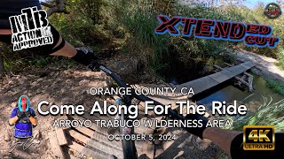
      youtuber MTB Riding | Come Along For The Ride | Ladera...
      mtb
      14:41 | 110 | Oct 14, 2024 , Mission Viejo
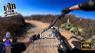
      youtuber MTB Riding Rage, October 5, 2024
      mtb
      3:32 | 94 | Oct 6, 2024 , Mission Viejo
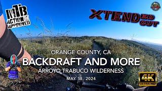
      youtuber MTB Riding Backdraft And More, May 18, 2024 |...
      mtb
      18:10 | 105 | May 23, 2024 , Mission Viejo
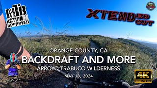
      youtuber MTB Riding Backdraft And More, May 18, 2024 |...
      mtb
      18:10 | 122 | May 19, 2024 , Mission Viejo

      Trail Lists

      Routes with this trail

      more »
      ★ 5.0 • 10 miles • 1,253 ft • 13 •
      This route helps get you away from the crowd in the Las Flores Open Space. You park at the Fire Station...
      10 miles • 1,248 ft • 15 • Point to Point •
      This is a route starting from Ladera Ridge. This goes to Antonio parkway where you go to the Water Works...
      20 miles • 1,507 ft • 15 •
      Waterworks and Oneill are perfect for a ride where you want to maybe do laps or take it a bit easier that...
      3.8 ★★★★★
      5 Ratings
      5 ★ 20%
      4 ★ 40%
      3 ★ 40%
      2 ★
      1 ★

      3 Reviews & Comments

      MTBMOR MTBMOR
      The trail is in goof shape. A new climbing switchback trail exist off Oso if you don't want to do the main climb.
      MikeCrane
      At the very begging you will experience what I can only describe as a deep hate for this trail. Very steep climb l. Because of our crazy association, this trail is no longer maintained from what I heard was their concern over kids actually riding on it. Anyway, it’s overgrown and quite narrow. Imo this would be an amazing little track otherwise. Zero shade so bring an umbrella Smile

      We hope you've been enjoying Trailforks!

      Create a FREE account to view all trail reviews and much more.

      • By ericfoltzTF Pro TRAILFORKS & contributors
      • #45795 - 5,061 views

      Frequently Asked Questions

      ▼ Where is Ladera Ridge located?
      Ladera Ridge is located in Tijeras Creek Trails, Mission Viejo, California, United States. It is part of the Tijeras Creek Trails trail network. The trailhead is located at coordinates 33.58709, -117.61991.
      ▼ How hard is Ladera Ridge?
      Ladera Ridge is rated as Blue difficulty. The physical rating is Moderate. The average grade is 0.671%. The climb difficulty is rated Blue.
      ▼ What is the elevation gain for Ladera Ridge?
      Ladera Ridge has 260 ft of elevation gain. The trail has 210 ft of elevation descent. The elevation ranges from 768 ft to 900 ft.
      ▼ Is Ladera Ridge a point to point trail?
      Ladera Ridge is not a point to point trail. The direction is Both Directions. The trail type is singletrack.
      ▼ How long is Ladera Ridge?
      Ladera Ridge is 1.4 miles long. The trail type is singletrack.
      ▼ Are dogs allowed on Ladera Ridge?
      Yes, dogs are allowed on Ladera Ridge. Please keep dogs on a leash where required and clean up after them.
      ▼ When is the best time of year to ride Ladera Ridge?
      Ladera Ridge is best visited during: Year Round.
      ▼ How do I access Ladera Ridge? Where is the closest parking trailhead?
      The closest parking and trailhead locations to Ladera Ridge are: View all parking locations in the area.
      ▼ How long does it take to ride Ladera Ridge?
      Based on recorded activities, it takes an average of 10 minutes to ride Ladera Ridge. The trail is 1.4 miles long. Actual times will vary based on fitness level, conditions, and pace. View recent activity logs for more details.
      ▼ How busy is Ladera Ridge?
      Ladera Ridge is a very popular trail. There have been 8,205 recorded activities on this trail. The trail has received 8,133 check-ins. View recent activity on this trail.

      Hit the Trail

      Open in App

      Get this trail on your phone instantly.

      open trail in app

      Download Trail

      Save to wishlist, Garmin & download.
      save the trail

      Find Related Routes

      Find routes and users activities that include this trail.
      find routes for this trail

      You must enter a description before submitting.