more stats
3,107 ft
Distance
33 ft
Climb
-258 ft
Descent
00:10:09
Avg time
-223 ft
Altitude change
3,346 ft
Altitude min
3,600 ft
Altitude max
3,571 ft
Altitude start
3,346 ft
Altitude end
-7.2%
Grade
-33.8%
Grade max
14.1%
Grade min
751 ft
Distance climb
2,270 ft
Distance down
82 ft
Distance flat
00:10:09
Avg time

Lechuza Details

  • Activities
    • Mountain Bike
    • E-Bike
    • Hike
    • Trail Running
  • Riding Area
    La Berzosa
    Hoyo de Manzanares
  • Difficulty Rating
  • Voted Difficulty
    Red (2 votes)
  • Local Popularity
    90 in Mountain Biking [+]
    • 100 in E-Biking
    • 80 in Trail Running
    • 60 in Hiking
  • Global Ranking
    #47227 in Mountain Biking [+]
    • #992 in E-Biking
    • #99277 in Trail Running
    • #96693 in Hiking
  • Hiking SAC Scale
    T1 Hiking
  • Trail Type
    Singletrack
  • Bike Type
    DH, AM
  • Direction
    Downhill Only
    Popular Direction Shown
  • Physical Rating
    Moderate
  • Trail Visibility
    Always easy to follow
  • Dogs Allowed
    Yes
  • eBike Allowed
    Yes up to Class 1
  • TTFs on Trail
    Berm, Drop

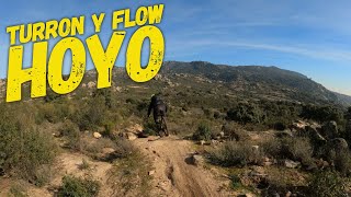
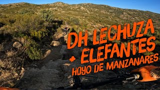
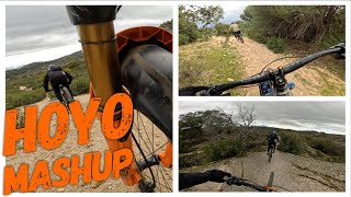
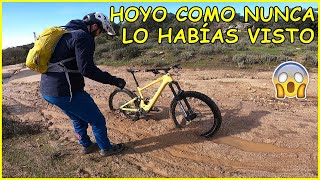
Bajada de lo más técnico de la zona, bastante pendiente en algunas zonas, donde con el habitual terreno suelto, se enlazan rápido drops con curvas y el grip es muy bajo. Atento a la capacidad de frenada, ya que si se va fuerte, es nula.

Recent Activity on Trail

Past Week
  • 0 rides
  •  
6 Months
  • 30 rides
  • 24.1 km avg distance
All
  • 230 rides
  • Last: Jun 20, 2026
c1c2c3c4
January
February
March
April
May
June
July
August
September
October
November
December
Status:
on Apr 13, 2026
Very Dry
Avg: 4.11 (3 votes)
Your vote: 0

view (1,746)
close
3D
Trail Conditions
  • Unknown
  • Snow Groomed
  • Snow Packed
  • Snow Covered
  • Snow Cover Partial
  • Freeze/thaw Cycle
  • Icy
  • Prevalent Mud
  • Wet
  • Variable
  • Ideal
  • Dry
  • Very Dry
Trail Flow (Ridden Direction)
Trailforks scans users ridelogs to determine the most popular direction each trail is ridden. A good flowing trail network will have most trails flowing in a single direction according to their intension.
The colour categories are based on what percentage of riders are riding a trail in its intended direction.
  • > 96%
  • > 90%
  • > 80%
  • > 70%
  • > 50%
  • < 50%
  • bi-directional trail
  • no data
Trail Last Ridden
Trailforks scans ridelogs to determine the last time a trail was ridden.
  • < 2 days
  • < 1 week
  • < 2 weeks
  • < 1 month
  • < 6 months
  • > 6 months
Trail Ridden Direction
The intended direction a trail should be ridden.
  • Downhill Only
  • Downhill Primary
  • Both Directions
  • Uphill Primary
  • Uphill Only
  • One Direction
Contribute Details
Colors indicate trail is missing specified detail.
  • Description
  • Photos
  • Description & Photos
  • Videos
Trail Popularity ?
Trailforks scans ridelogs to determine which trails are ridden the most in the last 9 months. Trails are compared with nearby trails in the same city region with a possible 25 colour shades. Think of this as a heatmap, more rides = more kinetic energy = warmer colors.
  • most popular
  • popular
  • less popular
  • not popular
ATV/ORV/OHV Filter
Max Vehicle Width
inches
US Cell Coverage
Legend
cell carrier legend

Radar Time
Activity Recordings
Trailforks uses anonymized public activity data. ?
Activity Recordings
Trailforks uses anonymized public activity data. ?
Personal Heatmap
Activity Types
all / none
Options
2
Date range month
Winter Trails
Warning A routing network for winter maps does not exist. Selecting trails using the winter trails layer has been disabled.
Missing Trails
Most Popular
Least Popular
Trails are colored based on popularity. The more popular a trail is, the more red. Less popular trails trend towards green.
Jump Magnitude Heatmap
Heatmap of where riders jump on trails. Zoom in to see individual jumps, click circles to view jump details.
BC Backroad Status

Service Road Atlas is a free to use, community-driven service for viewing and creating reports on the numerous back-country service roads around B.C. and Alberta.

map legend
Slope Aspect
Direction the slope faces
Flat N NE E SE S SW W NW
Trails Deemphasized
Trails are shown in grey.
disable
Only show trails with no bike usage.
Enable
Suggested Layers
Based on selected activity type

    Save the current map location and zoom level as your default home location whenever this page is loaded.

    Save
        Directions to lechuza trailhead (40.637020, -3.951440)

        Photos

        1 more »
        119 |
        Dec 19, 2022 @ 8:11am
        Dec 19, 2022

        Videos

        14 more »
        youtuber ‍♂️⛰⚡️ DH Lechuza + Curveteo  |...
        7:02 | 216 | Apr 1, 2023 , Hoyo de Manzanares
        youtuber ‍♀️  ⚡️ DH Lechuza + Elefantes  |...
        6:07 | 225 | Oct 9, 2022 , Hoyo de Manzanares
        youtuber ‍♂️ Hoyo MashUp  | La Berzosa | Hoyo de...
        30:28 | 15 | May 6, 2026 , Hoyo de Manzanares
        youtuber Hoyo como nunca lo había visto ​ Living...
        9:58 | 67 | Apr 3, 2025 , Hoyo de Manzanares

        Routes with this trail

        5.0 30 miles 2,637 ft 23 Point to Point
        Ruta extraída del en la que en casi 50km desciende desde el Puerto de Navacerrada hasta Las Matas pasando...
        3.4 22 miles 3,609 ft 24 Loop
        Ruta de dificultad media alta en cuanto a tecnica, y alta en cuanto a fisico. Pasa por las que considero...

        Reviews / Comments

        No reviews yet, be the first to write a review or ask a question.
        Use trail reports to comment on trail conditions.


        We hope you've been enjoying Trailforks!

        Create a FREE account to view trail comments and much more.

        • By julupanterTF Pro & contributors
        • #170208 - 1,226 views

        Frequently Asked Questions About Lechuza

        Where is Lechuza located?
        Lechuza is located in La Berzosa, Hoyo de Manzanares, Spain. It is part of the La Berzosa trail network. The trailhead is located at coordinates 40.63702, -3.95144.
        How hard is Lechuza?
        Lechuza is rated as Red difficulty. The physical rating is Moderate. The average grade is 7.2%.
        What is the elevation gain for Lechuza?
        Lechuza has 33 ft of elevation gain. The trail has 258 ft of elevation descent. The elevation ranges from 3,346 ft to 3,600 ft.
        Is Lechuza a point to point trail?
        Yes, Lechuza is a point to point trail. The direction is Downhill Only. The trail type is singletrack.

        Hit the Trail

        Open in App

        Get this trail on your phone instantly.
        open trail in app

        Download Trail

        Save to wishlist, Garmin & download.
        save the trail

        Find Related Routes

        Find routes and users activities that include this trail.
        find routes for this trail

        You must enter a description before submitting.