



Open in App
Get this trail on your phone instantly.

Technically demanding downhill route for experienced bikers.
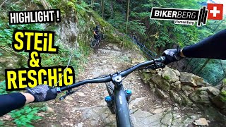
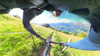
It leads from Flumserberg Tannenboden to Unterterzen at the Walen lake. Roots, stone steps, waves, drops and bends have to be mastered. The panoramic views of the Churfirsten peaks and the lake round off the biking experience.
It is especially suited to mountain bikers in the "all mountain" or "enduro" categories, as it mainly runs downhill. The start of the trail right next to the top station of the "SeeJet" cable car is not only impressive because of the wonderful view of the Churfirsten peaks. The stone steps also clearly show that really good riding skills are required on this route.
Once the stone steps have been mastered, there is a section specially created for mountain bikers. Here, waves and steep curves provide a lot of riding fun. At "Ahoren", a large pasture, this first section joins the Alpweg. From here, hikers and mountain bikers share the path and mutual respect is essential. From now on, the trail runs through challenging, sometimes steep terrain. Again and again, drops and root passages demand your full attention.
Pretty forest clearings and the glittering waters of the lake below ensure that the necessary breaks are a feast for the eyes. The view from "Amenigen" is particularly beautiful, and a fabulous vantage point with a bench invites you to linger a little off the route.
After almost 800 metres of pure descent, the trail starts to even out a bit more. Through the picturesque Weidtal valley, you follow a gravel road to "Plänti" and then a low-traffic asphalt road to the Unterterzen railway station on the lakeshore. At a short distance from there you can find a beautiful, free bathing beach.
With SeeJet Sektion 1 (Unterterzen - Oberterzen), SeeJet Sektion 2 (Oberterzen - Tannenboden).
https://www.flumserberg.ch/en/Flumserberg-today/Open-facilities/Summer


| c1 | c2 | c3 | c4 |
|---|---|---|---|
January | February | March | April |
May | June | July | August |
September | October | November | December |

Service Road Atlas is a free to use, community-driven service for viewing and creating reports on the numerous back-country service roads around B.C. and Alberta.
Save the current map location and zoom level as your default home location whenever this page is loaded.
SaveWe hope you've been enjoying Trailforks!
Create a FREE account to view all trail reviews and much more.
 Dielsdorf Toggenburg & contributors
You must enter a description before submitting.

