





Open in App
Get this trail on your phone instantly.

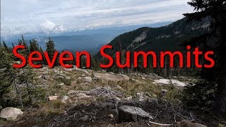
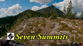
The Seven Summits trail, completed in the summer of 2004 by the Kootenay Columbia Trails Society (KCTS), is a spectacular point to point single-track traverse of the Rossland Range. Widely acclaimed by mountain bikers, acknowledged by the International Mountain Biking Association as an official Epic, and awarded the 2007 ‘Trail of the Year’ by Bike magazine, it is the crown jewel of the Rossland trail network. Challenging, adventurous, and spectacular, it is a true epic ride.
Riding the Seven Summits is a significant undertaking, and for most riders it will take the better part of a day. It’s long, unrelentingly technical, and physical demanding. Lung bursting climbs alternate with exciting descents and swooping singletrack through high-country meadows, dramatic ridges and mountain forests. The fastest expert XC riders can complete the entire distance in less than 3 hours, while competent recreational riders will walk some sections, and take 6 hours or more. Although the trail is free from stunts, jumps or severe steepness, it’s not suitable for beginners, with the majority of riding falling between intermediate and advance levels. The climbs are long and strenuous, however, most grades are moderate and are not overly sustained. Riders can expect the highest level of trail maintenance on the Seven Summits as the KCTS works to provide a quality trail experience for users. Typically the trail opens by July 1st, and closes in October with the first snowfalls.
The Seven Summits trail is designed to be ridden in a North – South direction, and to link with the Dewdney trail. Leave a vehicle at the bottom of the Dewdney trail on Hwy 22, near the US Border in Paterson (12 km South of Rossland) and arrange a 30km shuttle to Nancy Greene Pass. The trail begins immediately behind the trailhead kiosk at the Pass. Marathon riders and masochists can complete the entire loop from Rossland, adding a climb of Doukhobor Draw for the full experience. The Seven Summits trail is very remote, with no water available, so riders should be completely selfsufficient and prepared for mountain weather. Cell phone coverage is not consistent.


| c1 | c2 | c3 | c4 |
|---|---|---|---|
January | February | March | April |
May | June | July | August |
September | October | November | December |

Service Road Atlas is a free to use, community-driven service for viewing and creating reports on the numerous back-country service roads around B.C. and Alberta.
Save the current map location and zoom level as your default home location whenever this page is loaded.
SaveWe hope you've been enjoying Trailforks!
Create a FREE account to view all trail reviews and much more.
 Trailforks & contributors
You must enter a description before submitting.

