




Open in App
Get this trail on your phone instantly.

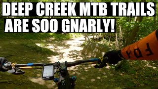
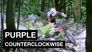
Going clockwise from the top, the first section winds through a forest and doesn't change elevation a lot, but it flows well over large rocks in some places. There are a few spots where you'll want to watch your bars on the trees and time your pedal strokes, but it isn't too technical. Once you start losing elevation, there are some line options through rockier sections, but it's generally pretty easy to stay on the right line. The switchbacks are tight and some of them have large rocks with uneven placement, so you may have to search for the right lines there. Before you reach the bottom, there is a straightaway bench-cut along a slope with some rollers that you can pump to really gain speed. There is a switchback soon after that, so watch your speed until you're familiar with it. Coming back up from the connector, the climb isn't too difficult. The switchbacks are wider and banked more, so it may be well worth riding counterclockwise as well. Completed in late summer, 2019. Trail name currently unknown, but it is blazed purple.

| c1 | c2 | c3 | c4 |
|---|---|---|---|
January | February | March | April |
May | June | July | August |
September | October | November | December |

Service Road Atlas is a free to use, community-driven service for viewing and creating reports on the numerous back-country service roads around B.C. and Alberta.
Save the current map location and zoom level as your default home location whenever this page is loaded.
SaveWe hope you've been enjoying Trailforks!
Create a FREE account to view all trail reviews and much more.
 & contributors
You must enter a description before submitting.

