

Open in App
Get this trail on your phone instantly.

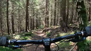
Trylobit to trasa o długości około 1,4 km przy utracie wysokości nieco ponad 200 m. Zaczyna się leśną ścieżką, jako odbicie w lewo od szlaku niebieskiego z Sępiej Góry do Świeradowa-Zdroju. Charakter trasy jest bardzo zróżnicowany, od leśnej ścieżki po zjazdy/dropy po sporych skałach. Są elementy techniczne i wolne, ale i szybkie szerokie sekcje.Trasa kończy się stromym zjazdem koło ciekawej grupy skalnej na drodze szutrowej, którą łatwo wrócić na Sępią Górę.
This trail is unsanctioned.
| c1 | c2 | c3 | c4 |
|---|---|---|---|
January | February | March | April |
May | June | July | August |
September | October | November | December |


Service Road Atlas is a free to use, community-driven service for viewing and creating reports on the numerous back-country service roads around B.C. and Alberta.
Save the current map location and zoom level as your default home location whenever this page is loaded.
SaveWe hope you've been enjoying Trailforks!
Create a FREE account to view trail comments and much more.
You must enter a description before submitting.

