

Open in App
Get this trail on your phone instantly.

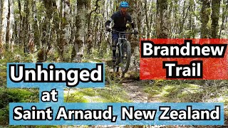
Tight twisty trail through stunted beech forest then very steep rooty 160 metre descent through mature red beech forest to a saddle. Short climb to another saddle then turn left at a marker post and sidle along a ridge 600 metres before descending another 300 metres through beech forest to the Korere–Tophouse Road.
Climb Whats up DoC from Tophouse Road to 1300 metres elevation. Trail begins on the Beebys walking track which is signposted.



Service Road Atlas is a free to use, community-driven service for viewing and creating reports on the numerous back-country service roads around B.C. and Alberta.
Save the current map location and zoom level as your default home location whenever this page is loaded.
SaveWe hope you've been enjoying Trailforks!
Create a FREE account to view all trail reviews and much more.
You must enter a description before submitting.

