Everything you can map
A trail network is more than trails. Map the whole place, in the same contribute workflow.
Trails
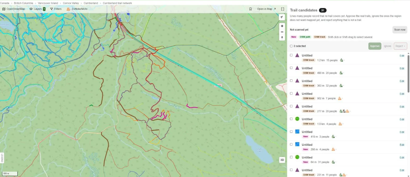
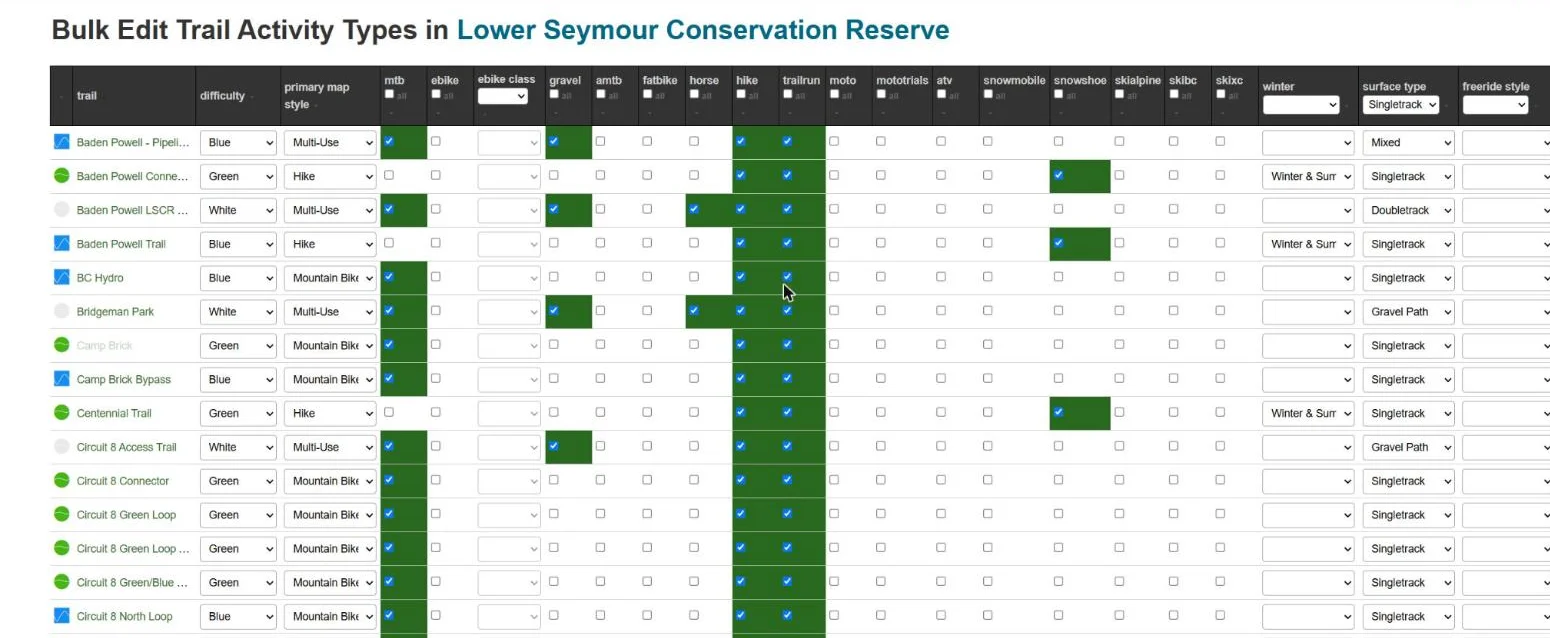
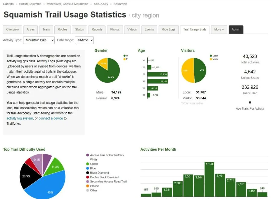
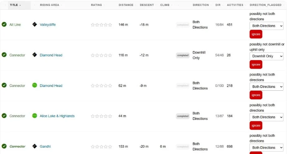
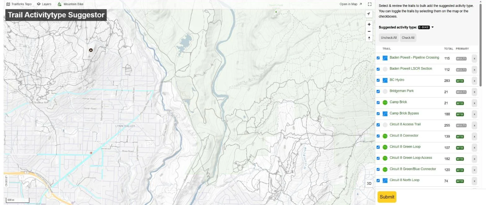
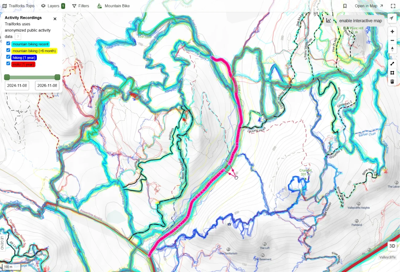
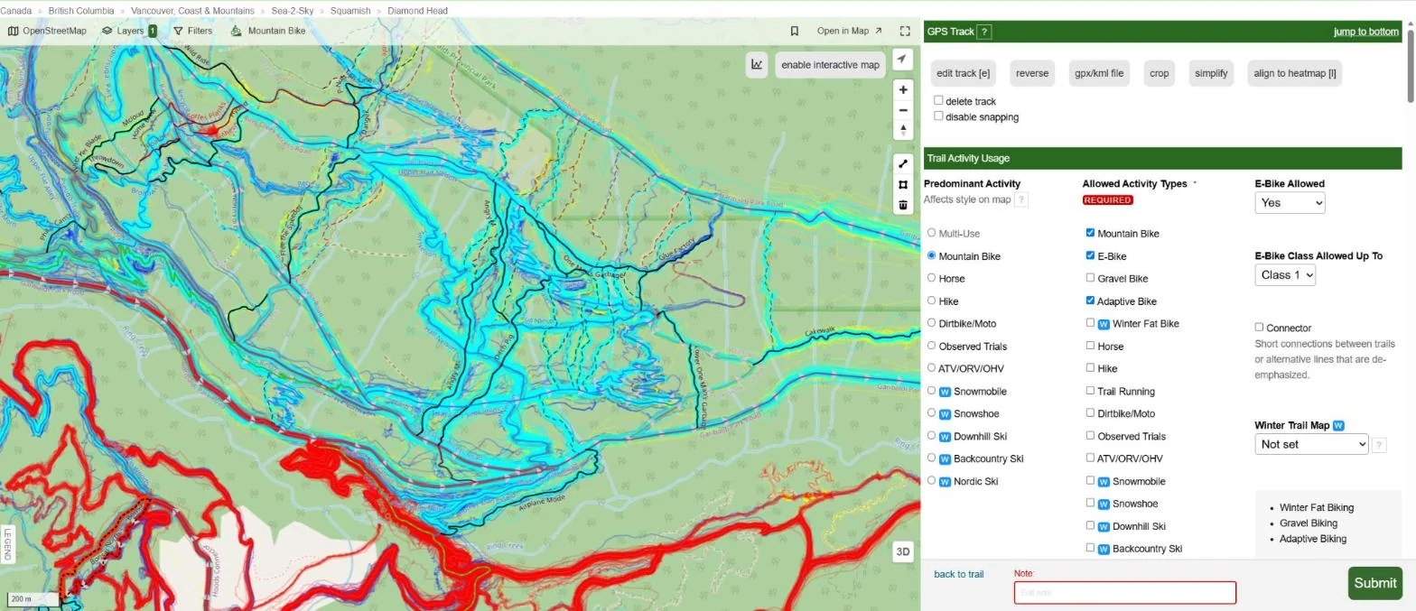
GPS line, activity types, difficulty, direction, e-bike rules, seasons, closures and land manager.
Bulk import from KMLRegions & trail networks
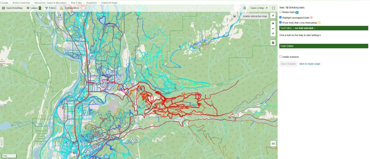
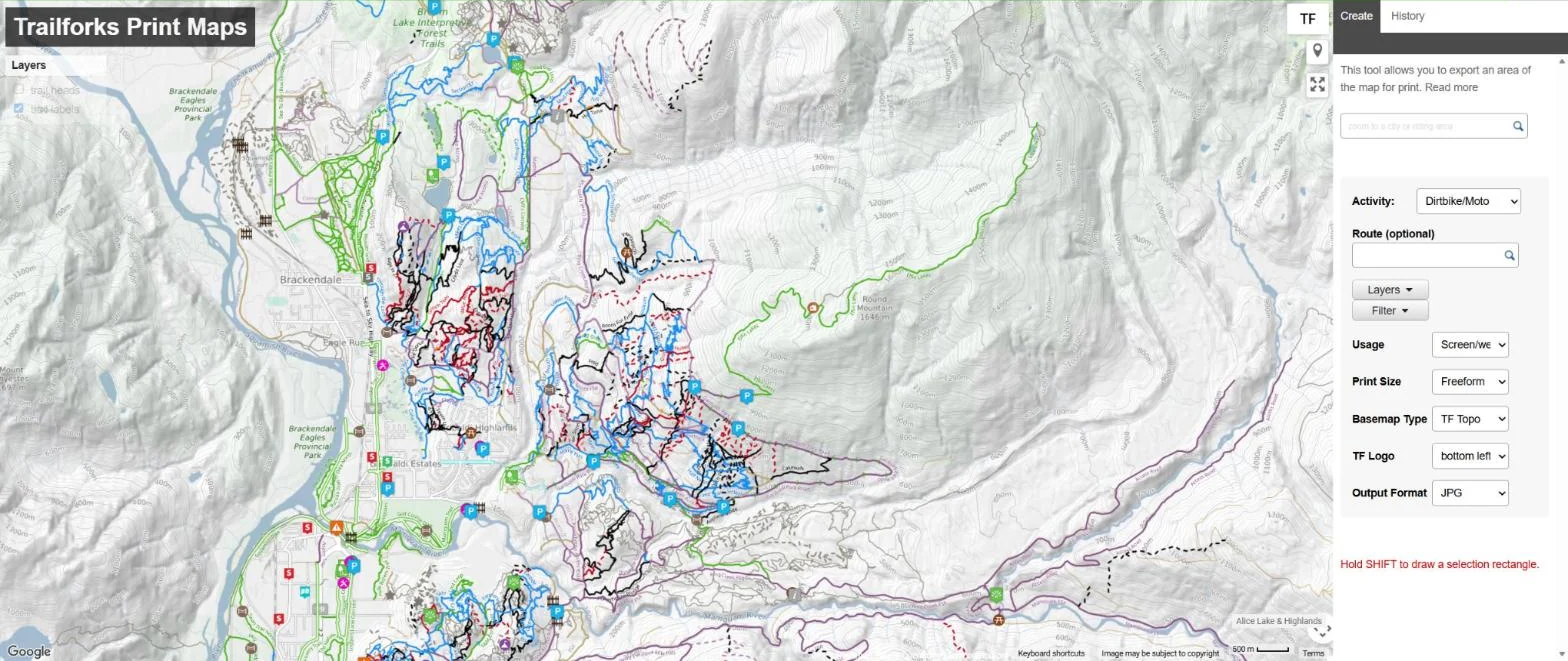
Draw a boundary and place it in the hierarchy, country to riding area. Each region becomes its own mini site.
Riding areas, bike parks, trail centresPoints of interest
Parking, trailheads, viewpoints, water, shelters and technical trail features.
Bulk add POIsPolygons
Closures, danger zones, logging, private land and land owner areas shown on the map.
Land owner polygons for adminsRoutes
Recommended loops, popular rides and race courses built from trails with the route planner.
Auto-routed on the trail networkTrail reports
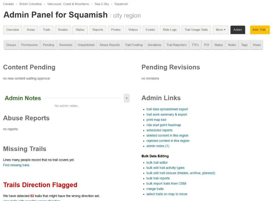
Trail status, ground conditions, hazards and logs of trail work done.
Bulk status updatesSkill parks
Jump parks, pump tracks, BMX and motocross tracks with their own features and difficulty.
Features & linesPhotos & videos
Geotagged media linked to trails, with suggestions for trails you have completed.
Trail sign photos