
Open in App
Get this route on your phone instantly.
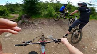
Three mountain loop- Starts in Gailbrath parking lot, Goes through Padden park to reach the north part of Chuckanut, then back to Galbraith and over the backside, to get to Cougar ridge, after it climbs back over to get through the last loop in the Galbraith area.
We hope you've been enjoying Trailforks!
Create a FREE account to view route comments and much more.
| 2,461 ft | |||||
| 430 ft | |||||
| 2 miles | |||||
| 1 mile | |||||
| 3,209 ft | |||||
| 1 mile | |||||
| 771 ft | |||||
| 2,208 ft | |||||
| 1,506 ft | |||||
| 1,650 ft | |||||
| 1,909 ft | |||||
| 1,437 ft | |||||
| 1 mile | |||||
| 1 mile | |||||
| 2,093 ft | |||||
| 1 mile | |||||
| 3,438 ft | |||||
| 1,007 ft | |||||
| 1,161 ft | |||||
| 459 ft | |||||
| 3,573 ft | |||||
| 3,550 ft | |||||
| 417 ft |

Service Road Atlas is a free to use, community-driven service for viewing and creating reports on the numerous back-country service roads around B.C. and Alberta.
Save the current map location and zoom level as your default home location whenever this page is loaded.
Save