

Open in App
Get this route on your phone instantly.
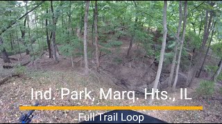
This is known as the figure 8 loop. Starts out primarily down hill with a couple short climbs. Trail 2 begins a long uphill / false flat section with only some small reprieve. Trail 4 is a good mix of fun downhill areas, long climbs and some rock lines with drops.
We hope you've been enjoying Trailforks!
Create a FREE account to view route comments and much more.
| 2 miles | |||||
| 344 ft | |||||
| 135 ft | |||||
| 584 ft | |||||
| 102 ft | |||||
| 1 mile | |||||
| 1,713 ft | |||||
| 1,732 ft | |||||
| 2,402 ft | |||||
| 1 mile | |||||
| 1,762 ft | |||||
| 1 mile | |||||
| 2,287 ft | |||||
| 2,129 ft |

Service Road Atlas is a free to use, community-driven service for viewing and creating reports on the numerous back-country service roads around B.C. and Alberta.
Save the current map location and zoom level as your default home location whenever this page is loaded.
Save