
5.3 miles
Distance
784 ft
Climb
-782 ft
Descent
1,029 ft
High Point
1 ft
Altitude change
358 ft
Altitude min
358 ft
Altitude start
358 ft
Altitude end
-44.3%
Grade max
43.5%
Grade min
3 miles
Distance climb
2 miles
Distance down
2,516 ft
Distance flat

The quickest route to the Lonesome Juniper from the Car.

Detailed Description
Lonesome Juniper is a 5 mile moderately popular intermediate route located near Wallula Washington. This mountain bike primary route. This route includes 4 trails. This route climbs 784 ft with a max elevation of 1,029 ft then descends -782 ft.
Tags

Local Trail Association

Please consider joining or donating to the local riding association to support trail development & maintenance.
Donate to earn trail karma!

Stats

  • Distance
    5 miles
  • Avg time
    2 hr 5 min
  • Altitude change
    1 ft
  • Altitude min
    358 ft
  • Altitude start
    358 ft
  • Altitude end
    358 ft
  • Climb
    784 ft
  • Descent
    -782 ft
  • Grade max
    -44.3%
  • Grade min
    43.5%
  • Distance climb
    3 miles
  • Distance down
    2 miles
  • Distance flat
    2,516 ft

15 Reviews & Comments


We hope you've been enjoying Trailforks!

Create a FREE account to view all route reviews and much more.

Trails in Route

Approach1,102 ft
Trunkline2 miles
Back down1,467 ft
Approach1,089 ft

Details

  • Riding area
  • Primary Activity
    Mountain Bike
  • Other Activities
    • E-Bike
    • Hike
  • Difficulty rating
    Blue
  • eBike Allowed
  • Bike type
    AM, XC
no votes yet
close
Trail transparency
  • Singletrack
mtb
trail: Back down
mtb
trail: Approach
40
mtb
trail: Trunkline
96
mtb
trail: Trunkline
74
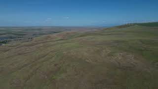
360° overview of Wallula Scablands terrain
mtb
360° overview of Wallula Scablands terrain
trail: Trunkline
0:41 | 303 | comments: 0 | favs:
May 18, 2024
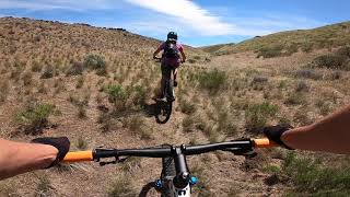
Wallula Half Pipe
mtb
Wallula Half Pipe
trail: Trunkline
6:14 | 192 | comments: 0 | favs:
Jul 21, 2023

Recent Trail Reports Along Route

statustraildateconditiondescription
Back down
Nov 7, 2026 @ 9:13am (America/Boise)
Nov 7, 2026
Approach
Oct 28, 2026 @ 9:59am (America/Boise)
Oct 28, 2026
Trunkline
Sep 3, 2026 @ 7:04am (America/Los_Angeles)
Sep 3, 2026
Trail has been cleared of weeds. The first half mile was utilized by fire fighting vehicles, so is now more of a double track in places.
more reports »
  • By kemperb & contributors
  • #42900 - 648 views

Hit the Trail

Open in App

Get this route on your phone instantly.

Download Route

Save to wishlist, Garmin & download.