


Open in App
Get this route on your phone instantly.
A medium loop starting with Station Link, riding through new pine up on to Station Drive (part of the Rimutaka Cycle trail).
Turn left on to Station Drive and ride along part of the original railway line connecting Wellington with the Wairarapa until 1954.
Continue riding until you arrive at a T-Intersection, and take a right. Look out for the marked entrance to 2 Bee Line on the right hand side (not on the trail signage the trails that can be joined to from that trail).
Head up 2 Bee Line. There are bee hives off this trail, but keep calm, and keep riding and you'll be as sweet as the honey that is being produced from the surrounding manuka forests.
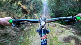
At the top of 2 Bee Line take a right onto Bees 2 Bridge. Bees 2 Bridge is an intermediate trail. It is a fun and flowy hand built track descending through pine and punga forest.
At the end of Bees 2 Bridge hang a left back down Station Drive to the entrance of G-Drop. Then descend back to the entrance to Station Link.

We hope you've been enjoying Trailforks!
Create a FREE account to view route comments and much more.
| 1 mile | |||||
| 92 ft | |||||
| 2,726 ft | |||||
| 1,857 ft | |||||
| 1,732 ft | |||||
| 1,663 ft |


Service Road Atlas is a free to use, community-driven service for viewing and creating reports on the numerous back-country service roads around B.C. and Alberta.
Save the current map location and zoom level as your default home location whenever this page is loaded.
Save