


Open in App
Get this route on your phone instantly.
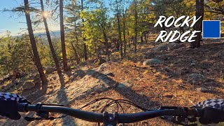
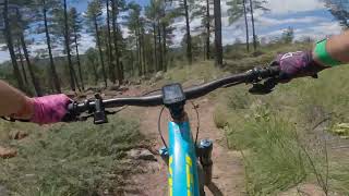
A figure-8 loop that hits the east end downhill section of Forces of Nature, then takes the Winifred connector to the pipeline trail for a long pedal up to Lower Oldham where the tech begins again, eventually linking into the west end of Forces of Nature. Once at the same Winifred connector, hop back on the pipeline trail and head east to the end. Roads and a paved bike path will return you to the parking lot.
This is heavily loaded with rocks, sustained rock gardens, rock steps/drops, narrow twisty sections, and technical climbs. Plan extra time and water compared to a flowier route of the same distance. There are numerous connectors to head back onto the pipeline trail along the way if it ends up being too much tech.
The tech trails are rated blue, but some good fitness and/or higher skill level would be a plus due to the sustained effort level required. The first section of Forces on the east end of the trail will be a good indicator of average moving pace and how much you may end up hike-a-biking; can easily head back to the parking lot after hitting pipeline trail for the first time to bail or for a mini tech loop.
This route will not be enjoyed by everyone, but if looking for a super technical ride, this should delight.

We hope you've been enjoying Trailforks!
Create a FREE account to view all route reviews and much more.
| 2,723 ft | |||||
| 2 miles | |||||
| 3,009 ft | |||||

Service Road Atlas is a free to use, community-driven service for viewing and creating reports on the numerous back-country service roads around B.C. and Alberta.
Save the current map location and zoom level as your default home location whenever this page is loaded.
Save