


Open in App
Get this route on your phone instantly.
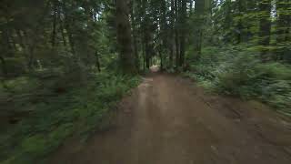
Starting at the Pinewood Elementary entrance, this route takes you on a great sample of connecting the XC and flowing trails throughout the outer edges of the park leading you up to the entrance of Shed Line boulders. This is a common Strava segment that has the KOM under 20 mins. A fast pace will take 20 to 22 mins or a medium pace at 22 to 25+ mins. What ever the pace, this is some great riding that will keep you pedaling while connecting these excellent trails and reward you with some berms, jumps and log rollers.

We hope you've been enjoying Trailforks!
Create a FREE account to view route comments and much more.
| 676 ft | |||||
| 138 ft | |||||
| 374 ft | |||||
| 164 ft | |||||
| 620 ft | |||||
| 823 ft | |||||
| 1,010 ft | |||||
| 98 ft | |||||
| 197 ft | |||||
| 482 ft | |||||
| 636 ft | |||||
| 371 ft | |||||
| 935 ft | |||||
| 518 ft | |||||
| 584 ft | |||||
| 157 ft | |||||
| 420 ft | |||||
| 545 ft | |||||
| 226 ft | |||||
| 932 ft | |||||
| 538 ft | |||||
| 2,497 ft | |||||
| 509 ft | |||||
| 1,312 ft | |||||
| 643 ft | |||||
| 79 ft | |||||
| 358 ft |


Service Road Atlas is a free to use, community-driven service for viewing and creating reports on the numerous back-country service roads around B.C. and Alberta.
Save the current map location and zoom level as your default home location whenever this page is loaded.
Save SORCE & contributors