

Open in App
Get this route on your phone instantly.
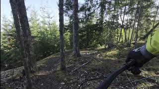
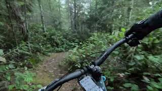
This is an Easy Route. Good introduction to Ridge Runner. Probably take 1.5 hours if going slowly and stopping. Best way is to do the route counter-clockwise.
This route is Unsanctioned, Ride at your own Risk!
We hope you've been enjoying Trailforks!
Create a FREE account to view all route reviews and much more.
| 620 ft | |||||
| 226 ft | |||||
| 3,583 ft | |||||
| 4,354 ft | |||||
| 1,348 ft | |||||
| 1,552 ft | |||||
| 958 ft | |||||
| 354 ft | |||||
| 1,844 ft | |||||
| 1,086 ft | |||||
| 1,946 ft | |||||
| 860 ft | |||||
| 1,266 ft | |||||
| 1,014 ft | |||||
| 4,436 ft | |||||
| 2,274 ft | |||||
| 1,020 ft | |||||
| 2,195 ft | |||||
| 620 ft |

Service Road Atlas is a free to use, community-driven service for viewing and creating reports on the numerous back-country service roads around B.C. and Alberta.
Save the current map location and zoom level as your default home location whenever this page is loaded.
Save NTB & contributors