
Open in App
Get this trail on your phone instantly.

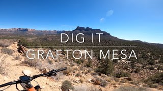
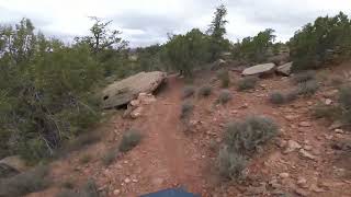
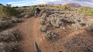
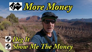
Unsanctioned trail on Grafton Mesa. The first portion is relatively mellow and very similar to the surrounding, easier trails. Once you get up (short hike-a-bike) to the point, about halfway through the trail, the real downhill begins with drops, rollers, berms. There are stacked rocks in areas that could be hard to follow the trail. Reach Around is an option off Dig It that by-passes the point and hike section, but you'll miss a lot of the fun downhill.
This trail is unsanctioned.
| c1 | c2 | c3 | c4 |
|---|---|---|---|
January | February | March | April |
May | June | July | August |
September | October | November | December |

Service Road Atlas is a free to use, community-driven service for viewing and creating reports on the numerous back-country service roads around B.C. and Alberta.
Save the current map location and zoom level as your default home location whenever this page is loaded.
SaveWe hope you've been enjoying Trailforks!
Create a FREE account to view trail comments and much more.
You must enter a description before submitting.

