



Open in App
Get this trail on your phone instantly.

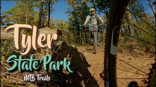
The green EZ Loop knows its place. It serves as a friendly introduction to the uninitiated and a warm welcome back to frequent riders. The loop gives you taste of subsequent loops--loose rocks, roots, climbs, and descents--on a much, much smaller scale. Ride it a few times if you are uncertain about hitting Loop A.
Whether you are new to mountain biking or a cross country, downhill, 4cross super champ, it's a state park trail. You stand a good chance of encountering hikers, trail runners, and free-range children with a dog that's off leash. In this event, play nice. Make eye contact. Say, "Hello." Say, "Have a nice hike." Maybe, "Thank you." You know, something polite.
Please note: Mountain bikers ALWAYS ride clockwise as shown on the map. Hikers ALWAYS ride counter clockwise per park rules!


Service Road Atlas is a free to use, community-driven service for viewing and creating reports on the numerous back-country service roads around B.C. and Alberta.
Save the current map location and zoom level as your default home location whenever this page is loaded.
Save
We hope you've been enjoying Trailforks!
Create a FREE account to view all trail reviews and much more.
 Trailforks Map Team & contributors
You must enter a description before submitting.

