



Open in App
Get this trail on your phone instantly.

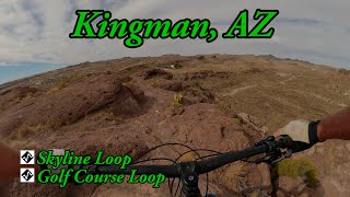
This technical trail is best ridden in a figure 8. It is comprised of a south and north loop. From Ledges trail make a right and start out counterclockwise. There will be multiple difficult rock features with very short breaks in-between. If you scan ahead, you may spot some of the optional more difficult alternate lines. At the first intersection, which is a center divide, you and to go left then a quick right which will put you on the upper loop. You will then go clockwise and ride on some mellow rock terrain before it turns down into a steep rock roll with a few different options. This is where the fun begins. As you pick your way down the wash towards the golf course there will be short punchy climbs, small drops, rock rolls with tons of awesome rock features to check out. As you leave the wash you will have a short steep climb back to the center divide where you will turn right on and then left back on the upper trail or make a right and do the north loop again. If you made the left onto the upper trail you will have a rewarding ending with a high-speed big rock slab ride with a drop and then a small natural rock double before you cross a dirt road. This will put you back to the start where it intersects with Ledges Loop. This figure 8 is not recommended in another configuration, other than just riding the south loop of this figure 8 by itself but than you would miss one of the techiest and challenging sections of trail in this trail system, the north loop of this figure 8.



Service Road Atlas is a free to use, community-driven service for viewing and creating reports on the numerous back-country service roads around B.C. and Alberta.
Save the current map location and zoom level as your default home location whenever this page is loaded.
Save
We hope you've been enjoying Trailforks!
Create a FREE account to view all trail reviews and much more.
You must enter a description before submitting.

