



Open in App
Get this trail on your phone instantly.

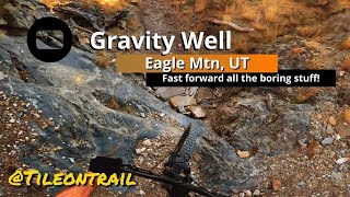
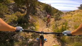
Wow Not sure how to put this trail into words—the most insane natural terrain, chunky, thrilling, and frightening trail I have been on in the SLC area. Pad up! Double-black Big-Mountain/Rocky-Mountain-Slay’n/DH/Enduro enthusiasts will find drop after rollable drop, after drop—several right in a row—including at least one natural step down, and a couple of huge forced drops larger than Cracked Cassette (almost proline worthy) with many rock gardens in between. Some really skilled dirt-bikers use this as some sort of insane enduro up trail. I’m in awe of how they must get up the two large drops. What these dirt-bikers have done is expose an incredible big-mountain style mtb line that funnels into a gnarly slot-canyon-ish dry creek bed full of ridiculous terrain to negotiate with large cliff exposure as you exit. At the end of the dry creek bed, you are looking for a small trail that goes up and left (really small hike-a-bike section) then you snake down around a large cliff edge. The last part of Gravity Well is more of an open free-ride experience--west desert style. There are several lines you can take (watch out for cliffs & double down casing tubeless tires are recommended) otherwise just stick to the obvious rough dirt-bike-up trail (right at the cairn—stacked rocks) for going down—the main ‘Gravity Well’ documented line. There is really no trail to follow at the mouth of canyon at the end. It’s just easily ridable short desert grass, rocks, and gravel! Just head to left to get back to road.
Gravity Well needs some cleaning up--some rocks moved, etc. I just removed part of a tree for one of the rollable drops for a better approach angle, but once that has been completed, this will be an epic classic for the grade and the Eagle Mountain mtb area! For the big drops in the creek bed, it would be ideal to have some ramps for better landings—kind of a North Shore B.C. experience--still keeping them as drops but with better safer landings. The ramps will have to be strong enough to withstand the mayhem from the dirt bikers going up, maybe even bolted to the rock using sport climbing bolts, so the ramps don’t get kicked out from dirt-bikers going up the trail. Other parts of the trail could use some ramps/bridges to improve the flow—like at the end of the creek bed section there are some tight rocky s-curves that would be much nicer to ride over with a bridge/ramp of sorts.
Be careful your first time going down! There are two dangerous drops in the dry creek bed! I measured them, and they are both about 9 to 10 feet! Don’t continue straight at the end of the dry creek bed; there’s a huge cliff! Follow the gps line!
| c1 | c2 | c3 | c4 |
|---|---|---|---|
January | February | March | April |
May | June | July | August |
September | October | November | December |


Service Road Atlas is a free to use, community-driven service for viewing and creating reports on the numerous back-country service roads around B.C. and Alberta.
Save the current map location and zoom level as your default home location whenever this page is loaded.
SaveWe hope you've been enjoying Trailforks!
Create a FREE account to view trail comments and much more.
 & contributors
You must enter a description before submitting.

