

![Upper Hareball- Rock Drop! [Snowshoe Bike Park 4K]](https://ev1.pinkbike.org/tf/vt/1/yvt-62423-4.jpg)
 Other
OtherOpen in App
Get this trail on your phone instantly.

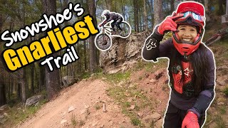
The gnarliest trail at Snowshoe Lower Hairball is super rocky and steep with tight turns and often loose rocks. This trail contains some sketchy optional lines and rock drops that come up quick and require commitment. It's a serious rock garden the entire way down the first half. Where it begins to flatten out prior to the fire road crossing, there is a big rock you can drop off of (ride around to right, drop is about 3.5 feet) called Roberto's Rock. After this huck to flat you cross a fire road and drop into the final, trickiest rock garden on the track before dropping onto the ski slope. After a flat pedal, you drop back down in the trees into the "supercross" section containing large whoops which can be doubled or tripled. This trail was part of the world cup course.
After Upper Hare Ball or Lower Pro DH, stay right at the intersection.
Extremely difficult, expert riders only
| c1 | c2 | c3 | c4 |
|---|---|---|---|
January | February | March | April |
May | June | July | August |
September | October | November | December |

Service Road Atlas is a free to use, community-driven service for viewing and creating reports on the numerous back-country service roads around B.C. and Alberta.
Save the current map location and zoom level as your default home location whenever this page is loaded.
SaveWe hope you've been enjoying Trailforks!
Create a FREE account to view trail comments and much more.
You must enter a description before submitting.

