
more stats
3.3 miles
Distance
87 ft
Climb
-2,221 ft
Descent
00:40:54
Avg time
-2,134 ft
Altitude change
5,907 ft
Altitude min
8,044 ft
Altitude max
8,041 ft
Altitude start
5,909 ft
Altitude end
-12.2%
Grade
-87.8%
Grade max
13.7%
Grade min
2,156 ft
Distance climb
3 miles
Distance down
1,115 ft
Distance flat
00:40:54
Avg time

Mille - Servay Details

  • Activities
    • Mountain Bike
    • E-Bike
    • Hike
    • Trail Running
  • Riding Area
    Bruson
    Verbier
  • Difficulty Rating
  • Local Popularity
    95 in Mountain Biking heatmap [+]
    • 95 in E-Biking
    • 100 in Trail Running
    • 100 in Hiking
  • Global Ranking
    #61916 in Mountain Biking [+]
    • #80640 in E-Biking
    • #71037 in Trail Running
    • #81879 in Hiking
  • National Ranking
    #1,412 in Mountain Biking · Switzerland [+]
    • #1,527 in E-Biking
    • #2,002 in Trail Running
    • #2,737 in Hiking
  • Hiking SAC Scale
    T2 Mountain Hiking
  • Trail Type
    Singletrack
  • Bike Type
    AM, XC
  • Direction
    Downhill Primary[+]
    Popular Direction Shown
    • Downhill Primary for E-Biking
  • Physical Rating
    Moderate
  • Trail Visibility
    Always easy to follow
  • Alpine Trail
    Yes
  • Dogs Allowed
    Yes
  • eBike Allowed
    Yes up to Class 1
  • Land Owner

No community description for Mille - Servay trail has been added yet!

AI Generated Description

Mille - Servay is a highly rated 5 km popular red difficulty alpine singletrack trail located near Verbier. Riders describe it as rocky. This multi-use trail can be used downhill primary and has a moderate overall physical rating. Trail visibility is always easy to follow. On average it takes 40 minutes to complete this trail.

Disclaimer

| Trail Etiquette | -Hikers have the right of way -Always yield for non-bike trail users (complete stop when crossing) -Anticipate other trail users -Let other trail users know you are coming -Leave no trace

Tags
AlpineRocky

Recent Activity on Trail

Past Week
  • 0 rides
  •  
6 Months
  • 83 rides
  • 24 miles avg distance
All
  • 183 rides
  • Last: Oct 10, 2026
c1c2c3c4
January
February
March
April
May
June
July
August
September
October
November
December
Status:
on Oct 12, 2026
Ideal
Avg: 4.68 (15 votes)
Your vote: 0

view (942)
close
      Directions to mille-servay trailhead (46.014070, 7.208430)

      Photos

      15 more »
      mtb
      238 |
      Sep 19, 2020 @ 1:27pm
      Sep 19, 2020
      mtb
      184 |
      Oct 26, 2019 @ 2:11am
      Oct 26, 2019
      mtb
      176 |
      Oct 26, 2019 @ 2:10am
      Oct 26, 2019
      mtb
      148 |
      Oct 26, 2019 @ 2:10am
      Oct 26, 2019

      Videos

      7 more »
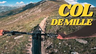
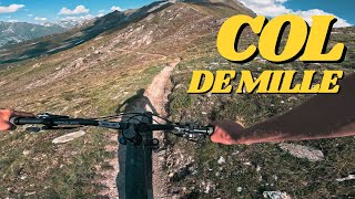
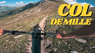
      Col De Mille POV
      mtb
      24:19 | 266 | Jun 30, 2025 , Verbier
      Col De Mille POV
      mtb
      24:19 | 246 | Jun 30, 2025 , Verbier
      Col De Mille POV
      mtb
      24:19 | 243 | Jun 30, 2025 , Verbier
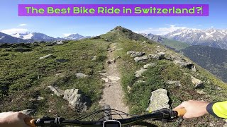
      The Best Bike Trail in Switzerland?
      mtb
      5:00 | 126 | Mar 25, 2025 , Verbier

      Routes with this trail

      more »
      ★ 2.5 • 9 miles • 1,758 ft • 13 • Point to Point •
      (Traduction Française ci-dessous / Deutsche Übersetzung unten) 17 - Mille Variation of the route “15....
      5.0 ★★★★★
      15 Ratings
      5 ★ 93%
      4 ★ 7%
      3 ★
      2 ★
      1 ★

      3 Reviews & Comments

      trail-taxi trail-taxi
      Must do trail in the Verbier region. Proper epic high alpine trail with some mild exposure and rock sections.

      Make sure to stop by the Cabane de Mille for some homemade pie or a lunch (turn it into an epic overnighter and book a bed there if you like)

      You can reach this trail by using the Gondola and chair from Le Chable, or book a single uplift with our Trail Taxi service. The trail will take you about 3-4h to complete, as you need to climb about 800m D+ to reach the col.
      crisotop crisotop
      Would also rate blue as average difficulty isn’t that high. Couple of very short techy sections, which are mostly punchy uphill climbs.
      All in all highly recommended - scenic and fun to ride!
      jomase
      This is a beautiful alpine trail and mostly flowy. I would rate it difficult and not extremely difficult as I brought intermediate riders there and were able to ride most of it. The last part is the most difficult as it becomes quite steep and tight. There are multiple ways to get to the top of col des milles.

      We hope you've been enjoying Trailforks!

      Create a FREE account to view all trail reviews and much more.

      Frequently Asked Questions

      ▼ Where is Mille - Servay located?
      Mille - Servay is located in Bruson, Verbier, Switzerland. It is part of the Bruson trail network. The trailhead is located at coordinates 46.01407, 7.20843.
      ▼ How hard is Mille - Servay?
      Mille - Servay is rated as Red difficulty. The physical rating is Moderate. The average grade is 12.2%.
      ▼ What is the elevation gain for Mille - Servay?
      Mille - Servay has 87 ft of elevation gain. The trail has 2,221 ft of elevation descent. The elevation ranges from 5,907 ft to 8,044 ft.
      ▼ Is Mille - Servay a point to point trail?
      Mille - Servay is not a point to point trail. The direction is Downhill Primary. The trail type is singletrack.
      ▼ How long is Mille - Servay?
      Mille - Servay is 3.3 miles long. The trail type is singletrack.
      ▼ Are dogs allowed on Mille - Servay?
      Yes, dogs are allowed on Mille - Servay. Please keep dogs on a leash where required and clean up after them.
      ▼ How do I access Mille - Servay? Where is the closest parking trailhead?
      The closest parking and trailhead locations to Mille - Servay are: View all parking locations in the area.
      ▼ How long does it take to ride Mille - Servay?
      Based on recorded activities, it takes an average of 41 minutes to ride Mille - Servay. The trail is 3.3 miles long. Actual times will vary based on fitness level, conditions, and pace. View recent activity logs for more details.
      ▼ How busy is Mille - Servay?
      Mille - Servay is a very popular trail. There have been 961 recorded activities on this trail. The trail has received 942 check-ins. View recent activity on this trail.

      Hit the Trail

      Open in App

      Get this trail on your phone instantly.

      open trail in app

      Download Trail

      Save to wishlist, Garmin & download.
      save the trail

      Find Related Routes

      Find routes and users activities that include this trail.
      find routes for this trail

      You must enter a description before submitting.

