
Open in App
Get this trail on your phone instantly.

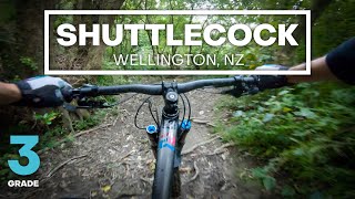
om the southeastern end this track drops off Mt Vic Easy down through the trees into a little valley. Part way down, the track crosses a small (usually dry) creek via an artificial rock garden consisting mainly of broken chunks of concrete. A little further along there is a concrete step down (good fun) followed by a deeply rutted corner.
The track then climbs slightly, around a few hairpin bends and a neat keyhole corner, before rejoining Mt Vic Easy.
Along the way there are plenty of exposed tree roots and short, sharp slopes that look like they would be especially slippery when wet.
Southwestern end is on Mt Vic Easy, less than 0.1km north of the clearing that contains the Mt Vic Skills Area. This intersection with Mt Vic Easy is marked by a pink inverted V painted on a small tree.
Northeastern end rejoins Mt Vic Easy just as the easy course enters the trees just above the badminton hall.
| c1 | c2 | c3 | c4 |
|---|---|---|---|
January | February | March | April |
May | June | July | August |
September | October | November | December |

Service Road Atlas is a free to use, community-driven service for viewing and creating reports on the numerous back-country service roads around B.C. and Alberta.
Save the current map location and zoom level as your default home location whenever this page is loaded.
SaveWe hope you've been enjoying Trailforks!
Create a FREE account to view trail comments and much more.
You must enter a description before submitting.

