


Open in App
Get this trail on your phone instantly.

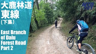
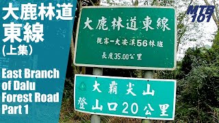
騎乘長度全長19公里,原路來回共38公里。此路線路面多為夯實的碎石,但是因為地質脆弱,常有崩塌落石,所以部分路段會有較大的石塊。整段19公里大多都在海拔1800-2100公尺之間小幅變化,但是「崩塌又開通」的路段形成許多爬升累積,所以不能小看這條好像很和緩的林道,其實整體累積爬升會累積到將近800公尺。rnrn林道整體趨勢去程是緩下,所以回程就是緩上,想要嘗試的朋友務必將回程「得爬坡」所消耗掉的體裡估算進去。林道路面有時有崩塌的頁岩,因此「補胎」工具必須準備,也需要攜帶修理鏈條的工具及快扣,防止在長距離的林道中故障,因為即便要用走的牽車出來,因為回程是緩上,會花掉非常多時間。
| c1 | c2 | c3 | c4 |
|---|---|---|---|
January | February | March | April |
May | June | July | August |
September | October | November | December |

Service Road Atlas is a free to use, community-driven service for viewing and creating reports on the numerous back-country service roads around B.C. and Alberta.
Save the current map location and zoom level as your default home location whenever this page is loaded.
SaveWe hope you've been enjoying Trailforks!
Create a FREE account to view all trail reviews and much more.
 & contributors
You must enter a description before submitting.

