

Open in App
Get this trail on your phone instantly.

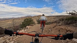
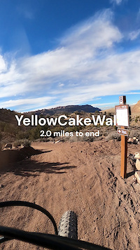
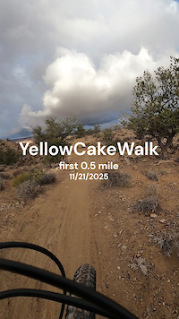
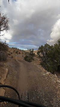
YellowCakeWalk is the longer of the two loop options, circling the entire Mud Springs Cauldron. From the top or east junction of Up235 and RADium, the trail dives into a twisty, berm-filled descent that drops roughly 200 feet, followed by a series of rolling climbs and descents as it works its way around the north side of the system.
Looking for more downhill? Climb up Geiger Grind to link into RADium for a bonus descent back to the trailhead.
Mud Springs was built with adaptive friendly standards and is great for handcycle riders. This trail ranges between 38-48 inches wide and has no pinch points narrower than 43 inches. Some berms are present however they have flatter bottoms, and the out slope of the tread does not exceed 10 degrees. Turns have a radius of 15 feet or greater. The northern portion of YellowCakeWalk was hand built and does have a narrower feel than the rest of the machine built trails. These trails are still 38 inches or wider but do have slightly more exposure due to different building techniques.
MUD WARNING The system is high in clay soils and does not hold up well when wet. Please do not ride during or after rain or snow events. Doing so will leave ruts and damage the trails.
Use caution turning off of HWY 191 onto Yellow Circle Road as the turning place is in a passing lane.
WILDLIFE CLOSURE - December 1st to April 15th.
| c1 | c2 | c3 | c4 |
|---|---|---|---|
January | February | March | April |
May | June | July | August |
September | October | November | December |


Service Road Atlas is a free to use, community-driven service for viewing and creating reports on the numerous back-country service roads around B.C. and Alberta.
Save the current map location and zoom level as your default home location whenever this page is loaded.
SaveWe hope you've been enjoying Trailforks!
Create a FREE account to view trail comments and much more.
 MTM & contributors
You must enter a description before submitting.

