

Open in App
Get this trail on your phone instantly.

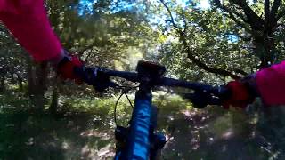
Start by going over the rocky ground at the highest point and then straight down the narrow grassy track into the trees. Then zig zag down hill through cleared gaps in the woodland. At one point slightly uphill to go around a tree on uphill side, turning right behind tree and eventually down to Bottom Of The Hill trail. Indistinct in many places - follow least resistance. Any dead branches will be placed to help direct you.

| c1 | c2 | c3 | c4 |
|---|---|---|---|
January | February | March | April |
May | June | July | August |
September | October | November | December |


Service Road Atlas is a free to use, community-driven service for viewing and creating reports on the numerous back-country service roads around B.C. and Alberta.
Save the current map location and zoom level as your default home location whenever this page is loaded.
Save Rock Face
We hope you've been enjoying Trailforks!
Create a FREE account to view trail comments and much more.
 HHTA & contributors
You must enter a description before submitting.

