- Trail:
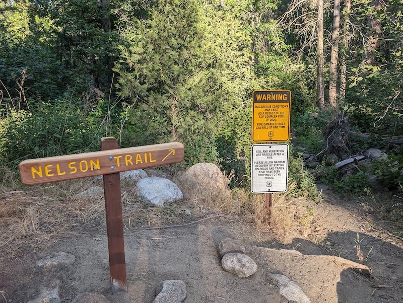
- Nelson Trail (Northern Sequoia National Forest)
- Status:
- Significant Issue / Amber
-
Issue status:
- Condition:
- Dry -
- Reporter Primary Activity:
- Mountain Bike
Description:
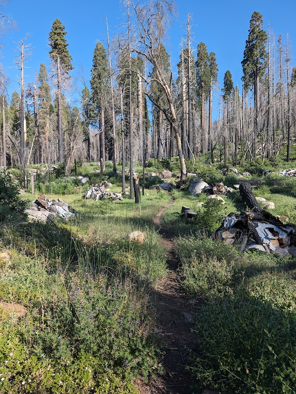
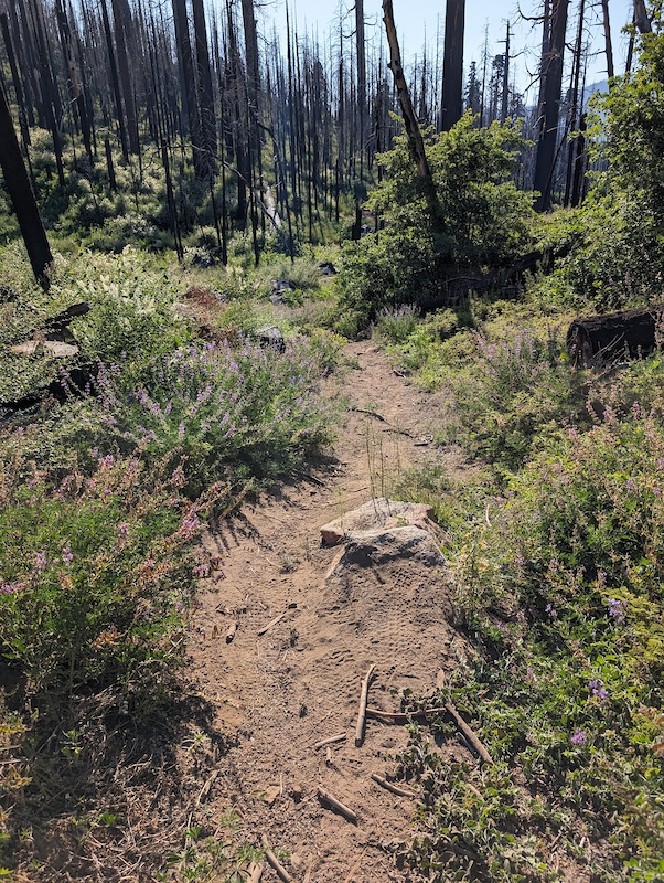
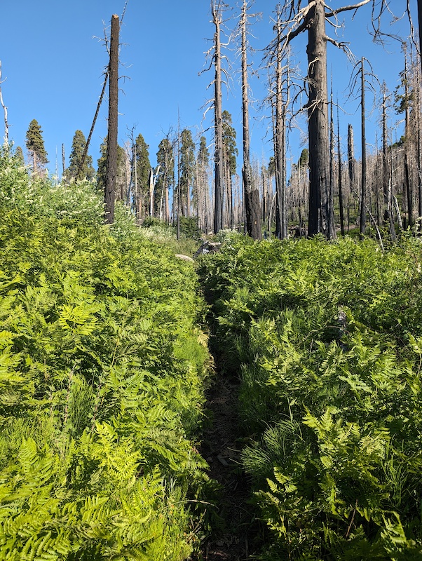
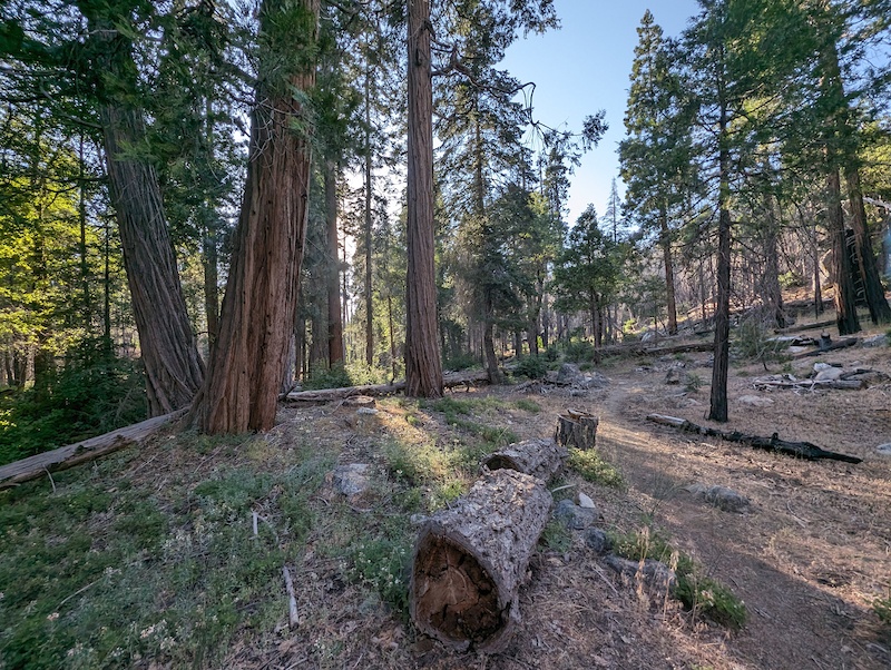
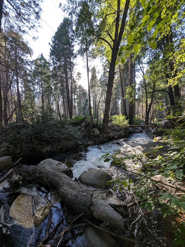
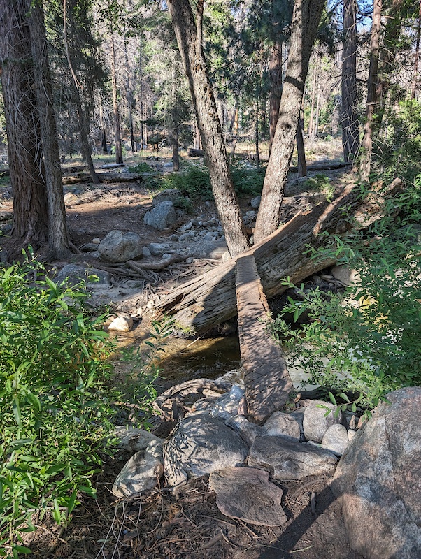
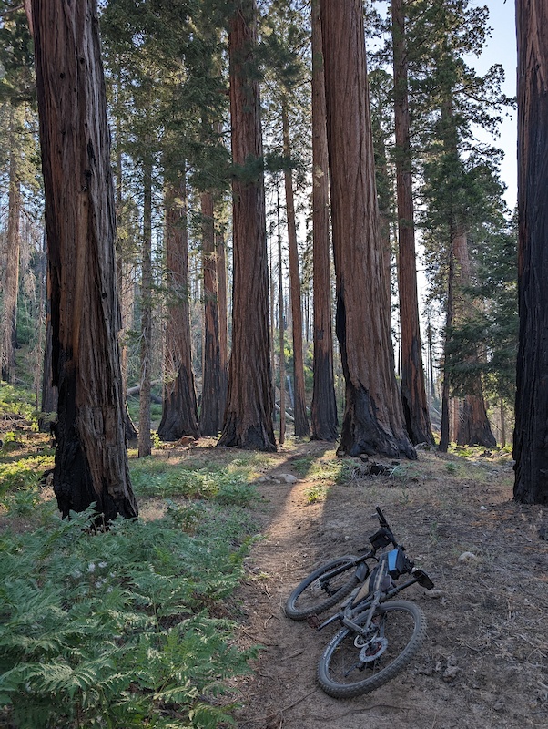
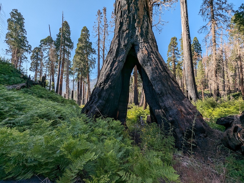
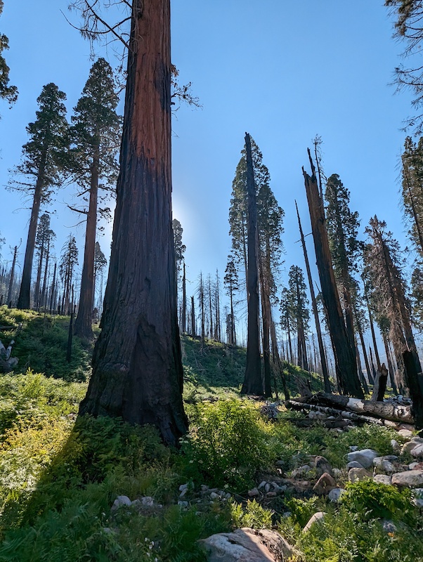
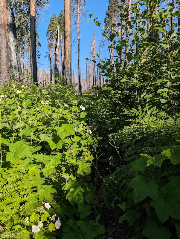
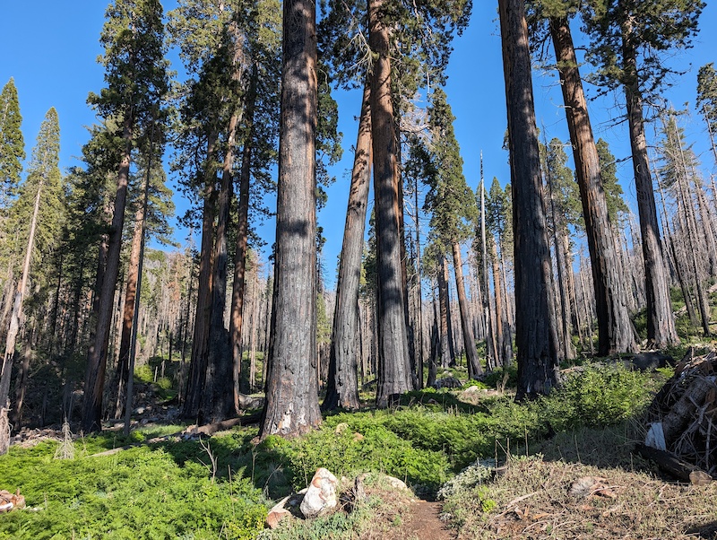
Trail is partially open, the bottom 1.5 miles or so. You can ride up from the bottom or climb up Oso and drop in via FR 20S46 from Cedar Slope, which connects directly to Nelson Trail. You can climb up about 1/3 mile from 20S46 just past the ride through Sequoia tree before the trail starts getting really overgrown. This is as far as I went. Below 20S46 the trail is totally clear with no downed trees. The ride thru tree survived! As did many of the big Sequoias. There is also a new bridge where the trail crosses S Fork Tule River lower down.
I also checked out the top of the trail. It has been impacted by road construction, with crews dumping large rock and logs over the side to help stabilize the slope as they are shoring up the edge of the highway. Unfortunately this is exactly where the trail runs at the top. I did hike down below that section and saw overgrowth and a number of downed trees. With the fire, downed trees will be a major problem for years. I did not attempt to go down further from the top. For now I'd consider the top to be impassable.
I also checked out the top of the trail. It has been impacted by road construction, with crews dumping large rock and logs over the side to help stabilize the slope as they are shoring up the edge of the highway. Unfortunately this is exactly where the trail runs at the top. I did hike down below that section and saw overgrowth and a number of downed trees. With the fire, downed trees will be a major problem for years. I did not attempt to go down further from the top. For now I'd consider the top to be impassable.
Previous Reports

Official Report
- San Diego Mountain Biking Association - Regional Admin Group
- SDMBA