

Open in App
Get this route on your phone instantly.
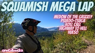
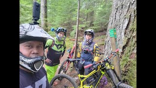
The longest day of the year is a good enough excuse to go for the longest ride This route will take you up into the alpine and then flow down into the valley where cold beer and hot BBQ awaits! Enjoy the sun!

We hope you've been enjoying Trailforks!
Create a FREE account to view all route reviews and much more.
| 1 mile | |||||
| 2,195 ft | |||||
| 3 miles | |||||
| 3 miles | |||||
| 935 ft | |||||
| 2,825 ft | |||||
| 3,169 ft | |||||
| 13 miles | |||||
| 2,464 ft | |||||
| 978 ft | |||||
| 2,552 ft |

Service Road Atlas is a free to use, community-driven service for viewing and creating reports on the numerous back-country service roads around B.C. and Alberta.
Save the current map location and zoom level as your default home location whenever this page is loaded.
Save & contributors