


Open in App
Get this trail on your phone instantly.

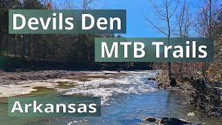
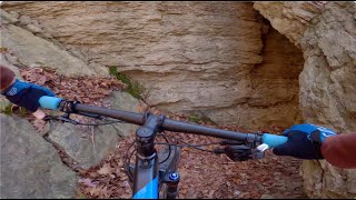
The flat exposed rock in the creek bed lends this trail its name. Many fossils are visible in the exposed creek bed. Along the trail you will see evidence of the CCC and early settlers, creek views, and big rock formations. This trail gives riders a choice of a three, four, or five mile ride and the difficulty increases with each mile added.
8 miles south of Fayetteville on I-540 (Exit 53), then 18 miles southwest on Hwy. 170, or 7 miles west of I-540 (Exit 45) at Winslow on Hwy. 74


| c1 | c2 | c3 | c4 |
|---|---|---|---|
January | February | March | April |
May | June | July | August |
September | October | November | December |

Service Road Atlas is a free to use, community-driven service for viewing and creating reports on the numerous back-country service roads around B.C. and Alberta.
Save the current map location and zoom level as your default home location whenever this page is loaded.
SaveWe hope you've been enjoying Trailforks!
Create a FREE account to view all trail reviews and much more.
You must enter a description before submitting.

