





Open in App
Get this trail on your phone instantly.

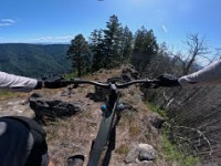
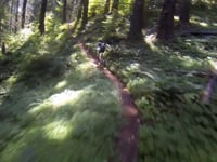
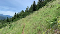
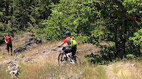
Just over ten miles of challenging old-school singletrack. One of the more challenging trails Oakridge has to offer: rocky chutes, exposure, switchbacks, loose fall-line, incredible views and miles and miles of bench-cut singletrack.
A quick scout of the top rock garden is a good idea.
Important navigational note:
There is a confusing sign at a trail junction on this trail. Lower Heckletooth trail is signed by the official forest service trail name "Aubrey Trail #3559". (Not to be confused with Aubrey Mountain Trail #3554 that bikers call "Aubrey Mountain"). When you see this trail sign stay left at the split to continue to ride Heckletooth.
Starts at the bottom of Little Bunchgrass trail after crossing the road. Look for the "Eugene to Crest" trail sign. Ends on straight exit singletrack that eventually widens to gravel. It shares this exit with Aubrey Mountain trail.


| c1 | c2 | c3 | c4 |
|---|---|---|---|
January | February | March | April |
May | June | July | August |
September | October | November | December |

Service Road Atlas is a free to use, community-driven service for viewing and creating reports on the numerous back-country service roads around B.C. and Alberta.
Save the current map location and zoom level as your default home location whenever this page is loaded.
Save
We hope you've been enjoying Trailforks!
Create a FREE account to view all trail reviews and much more.
 Team Dirt Alsea Falls TC & contributors
You must enter a description before submitting.

