


Open in App
Get this trail on your phone instantly.

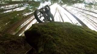
The "Hippy - Upper" is the top section of the full "3 Hippies" Strava trail which also includes the "Hippy - Mid" and "Hippy - Lower" sections. The "Hippy Upper" is both loamy and rooty with a few rolls, berms and a kicker that pops you out by the quarry fence. It's a good warm up for the Hippy Mid section which follows directly over the road from the exit.
To ride any of the Balquhidder Trails, Park at Balquhidder Hall or the Kirk. Access Kirkton Glen using the forestry roads. Once up the 400m steeps and past the forest road bridge over the burn bear right eastwards. Head past the quarry on your left (where you cross the start of the Hippy Mid), and ride a further 500m round a long uphill left bend. The start for the Upper Hippy is then on your left marked by two large cake-sized stones on the left of the track..
| c1 | c2 | c3 | c4 |
|---|---|---|---|
January | February | March | April |
May | June | July | August |
September | October | November | December |

Service Road Atlas is a free to use, community-driven service for viewing and creating reports on the numerous back-country service roads around B.C. and Alberta.
Save the current map location and zoom level as your default home location whenever this page is loaded.
SaveWe hope you've been enjoying Trailforks!
Create a FREE account to view trail comments and much more.
You must enter a description before submitting.

