

Open in App
Get this trail on your phone instantly.

Longhouse is a intermediate level trail which connects to Vulpes on the Northern end, Coal Knob and Tuttletown in the middle, Ursus, and finally FR 263 on the Southern End.
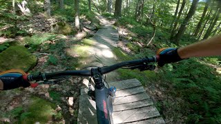
From the Coal Knob intersection to Vulpes, Longhouse is a flowing descent with some tech and berms -- tons of fun From the same intersection towards Ursus, the trail generally descends with a few climbs in between. After Ursus it generally climbs back to the junction with FR 263 with a few descents along the way.
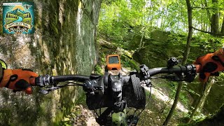
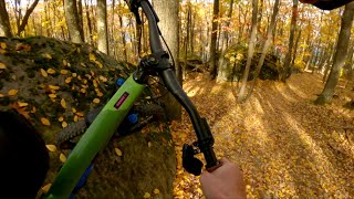
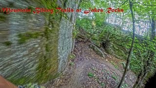
This trail has quite a bit of rocky character, lots of rocks to hop, jump, and pump. Keep an eye out for some of these rock features along the trail and you'll find lots of fun and flow through the rocks.




Service Road Atlas is a free to use, community-driven service for viewing and creating reports on the numerous back-country service roads around B.C. and Alberta.
Save the current map location and zoom level as your default home location whenever this page is loaded.
SaveWe hope you've been enjoying Trailforks!
Create a FREE account to view all trail reviews and much more.
 TRAILFORKS HTA & contributors
You must enter a description before submitting.

