


 Bridge
Open in App
Get this trail on your phone instantly.

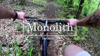
Tight single-track trail with punchy climbs and great flow. Typical direction, though it is bi-directional, starts from the bottom of the quarry road hill where it intersects with scout trail along the river. Take a right at the first Y. Left takes you up Naysayer. Then you'll immediately see where the trail gets its name. A monolithic structure to climb You can bypass it on the right if you want. Nothing too technical or difficult on this trail but there are some good intermediate features like the "pyramid" log crossings and a number of bridges. The climbs are steep and short. Lots of roots.


| c1 | c2 | c3 | c4 |
|---|---|---|---|
January | February | March | April |
May | June | July | August |
September | October | November | December |

Service Road Atlas is a free to use, community-driven service for viewing and creating reports on the numerous back-country service roads around B.C. and Alberta.
Save the current map location and zoom level as your default home location whenever this page is loaded.
SaveWe hope you've been enjoying Trailforks!
Create a FREE account to view all trail reviews and much more.
 NSMBA TRAILFORKS & contributors
You must enter a description before submitting.

