

Open in App
Get this route on your phone instantly.
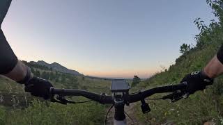
A mellow loop that hits the two best intermediate descents near Superior from the optimal direction—quick, fun, and great when you want to keep the climbing to a minimum.
- Starts and ends at the West Thomas Street access point, with plenty of easy street parking.
- You’ll drop into Doudy Draw and Springbrook South, two of the most fun descents in the area.
- Climbs are short and chill, nothing technical.
- If you’re feeling good and want to stretch it out, add about 5.5 bonus miles by taking a left at the end of Greenbelt Plateau onto High Plains, which mixes in some rock gardens and nice flow. Ride High Plains out and back, then hop onto Flatiron Vista Connector to roll right back into the Dirty Quickie loop.
Have fun 

We hope you've been enjoying Trailforks!
Create a FREE account to view all route reviews and much more.
| 2 miles | |||||
| 3,763 ft | |||||
| 1 mile | |||||
| 2 miles | |||||
| 1,348 ft | |||||
| 1 mile | |||||
| 1 mile | |||||
| 2 miles |

Service Road Atlas is a free to use, community-driven service for viewing and creating reports on the numerous back-country service roads around B.C. and Alberta.
Save the current map location and zoom level as your default home location whenever this page is loaded.
Save & contributors