

Open in App
Get this route on your phone instantly.
Trails are in Sand Flats Recreation Area. Fee required.
Eagle Eye is at 7000', trail gets snowed out in winter. Check with shops for conditions.
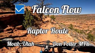
Update of Raptor Route - Eagle Eye, Hawks Glide, Falcon Flow route to add the new Kestrel Run trail.
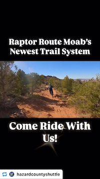
Eagle Eye, Hawks Glide, Falcon Flow, Kestrel Run, or the Raptor Route is an excellent downhill route that is great on its own or connect if off of the Whole Enchilada. Riders now have an option at the start of LPS to either continue down the Whole Enchilada Route, or take the Raptor Route back toward Moab. This route offers more singletrack, faster downhill, and is more intermediate rider friendly. It also offers many exit options onto Sand Flats Road if you have a mechanical, or just need to get back to town.
Use caution on Eagle Eye, Falcon Flow, and Kestrel Run as they are dual directional trails.
Please stop for uphill traffic.

We hope you've been enjoying Trailforks!
Create a FREE account to view route comments and much more.
| 2 miles | |||||
| 2 miles | |||||
| 2,336 ft | |||||
| 5 miles | |||||
| 2 miles |


Service Road Atlas is a free to use, community-driven service for viewing and creating reports on the numerous back-country service roads around B.C. and Alberta.
Save the current map location and zoom level as your default home location whenever this page is loaded.
Save & contributors