


Open in App
Get this route on your phone instantly.
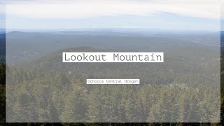
This is the classic loop in the Ochocos. Most prefer to begin at the old ranger station parking area at the bottom of Lookout Mountain Trail and start with an easy 7 mile road ride to the lower Round Mountain trailhead. Alternatively you may shuttle to the Round TH. While the complete loop is only 20-27 miles (depending on variation) there is upwards of 5,500 feet of climbing on very steep and difficult terrain. Most people will make it a full day ride, completing it in 5-7 hours. There is a bail out option where Round Mountain Trail meets Lookout and crosses the paved highway, but you miss the crown jewel of the ride - Lookout Mountain DH.
Technically speaking it could be ridden in the reverse direction but it is not recommended.

We hope you've been enjoying Trailforks!
Create a FREE account to view route comments and much more.


Service Road Atlas is a free to use, community-driven service for viewing and creating reports on the numerous back-country service roads around B.C. and Alberta.
Save the current map location and zoom level as your default home location whenever this page is loaded.
Save Trailforks & contributors