




Open in App
Get this trail on your phone instantly.

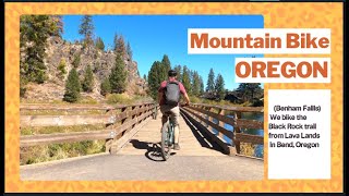
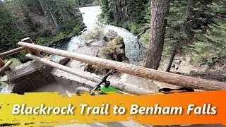
The trail mostly follows the edge of the lava flow. A few sections of lightly technical rocks along the trail. Note that the videos attached to this trail are NOT correct.
aMTB rating is provided for general information only and may not reflect the technical difficulty of the trail or a particular rider's support needs. COTA completed a trail assessment process, please find more information on our website: https://www.cotamtb.com/amtb-trail-information.html. Contact Oregon Adaptive Sports for more information or ride support: https://oregonadaptivesports.org.
| c1 | c2 | c3 | c4 |
|---|---|---|---|
January | February | March | April |
May | June | July | August |
September | October | November | December |


Service Road Atlas is a free to use, community-driven service for viewing and creating reports on the numerous back-country service roads around B.C. and Alberta.
Save the current map location and zoom level as your default home location whenever this page is loaded.
SaveWe hope you've been enjoying Trailforks!
Create a FREE account to view all trail reviews and much more.
You must enter a description before submitting.

