


Open in App
Get this trail on your phone instantly.

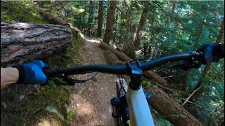
This joint trailhead with Cat Scratch and Fever Cat is a short climb up the Flank from alpine. Fever Cat is being reworked into a hybrid blue trail with fun and playful features to provide a low angle experience in the Alpine Trail Network. Work is being done on a volunteer basis by Howler as time permits and progressing from the top down.
Access to the trail head can be reached by either riding up Rick's Roost (located at the top of Alpine Way) or down off the flank trail.
| c1 | c2 | c3 | c4 |
|---|---|---|---|
January | February | March | April |
May | June | July | August |
September | October | November | December |

Service Road Atlas is a free to use, community-driven service for viewing and creating reports on the numerous back-country service roads around B.C. and Alberta.
Save the current map location and zoom level as your default home location whenever this page is loaded.
SaveWe hope you've been enjoying Trailforks!
Create a FREE account to view trail comments and much more.
You must enter a description before submitting.

