


Open in App
Get this trail on your phone instantly.

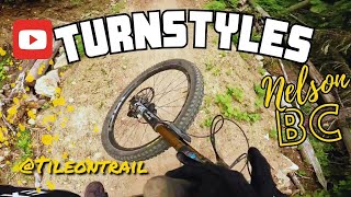
Bike park in the backcountry. The big brown brother of Lefty that may become a legend with an endless sequence of tall berms, big tables, and other unique jump features.
Pedal up upper Bottoms Up, or car drop from Giveout Creek FSR.
| c1 | c2 | c3 | c4 |
|---|---|---|---|
January | February | March | April |
May | June | July | August |
September | October | November | December |

Service Road Atlas is a free to use, community-driven service for viewing and creating reports on the numerous back-country service roads around B.C. and Alberta.
Save the current map location and zoom level as your default home location whenever this page is loaded.
SaveWe hope you've been enjoying Trailforks!
Create a FREE account to view trail comments and much more.
You must enter a description before submitting.

