
Every Pro featureon the web & in the app
Offline maps for anywhere you go, 3D terrain, global heatmaps, every basemap and premium layer, the full Route Finder, weather and every trail report. Here is the complete list of what Trailforks Pro unlocks.
- 71Pro features
- 356premium map layers
- 52premium basemaps
- 5devices
Offline maps & navigation
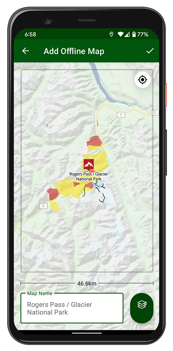
Take the whole map with you. Download as many regions and basemaps as you like and keep navigating with no signal.

-
Unlimited region downloads
Download trails, points of interest and routes for every region you ride, and keep them all on your phone. Free: One region at a time
-
Offline basemaps
Save satellite, topo and Gaia GPS map tiles for any area so the map still draws with no cell service.
-
Search, even offline
Search trails, regions and points of interest worldwide and open any result, including the regions you have downloaded.
-
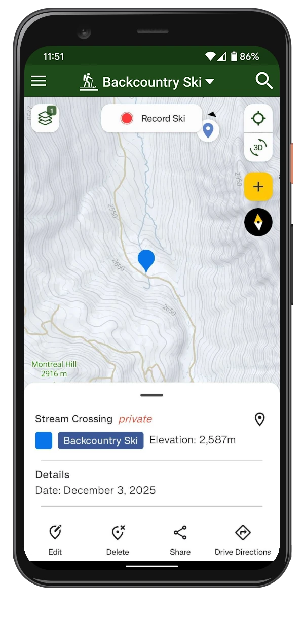
Personal waypoints
Drop waypoints on the map or on a point of interest, and save as many as you need. Free: 10 on the web
-
Traildar
Traildar tells you which trail you are on and what is coming up next, as you ride.
-
Route to any point
Get Trailforks trail routing from where you are to a dropped pin, a point of interest or the start of a trail.
-
Driving directions
Open Google or Apple Maps directions to any trail, trailhead or point of interest.
-
Compass mode
Rotate the map with your heading so the trail ahead is always up.
-
Apple Watch map & routes
The trail map and your routes on your wrist with the Trailforks Apple Watch app.
-
Up to 5 devices
Sign in on your phone, tablet and a spare and use Pro on up to five devices.
-
GPX downloads & send to Garmin
Download GPX files for trails, routes and route plans, or send a trail straight to your Garmin. KML too on the web.
-
Garmin maps
Unlimited downloads of the custom Trailforks maps for Garmin GPS units.
Maps, 3D & heatmaps
Every basemap, every premium layer, 3D terrain and the heatmaps that show where people actually go.
3D maps
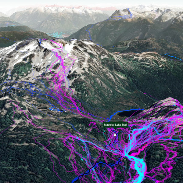
Tilt the map and see the terrain. Every basemap and layer works in 3D, and route plans get a 3D preview.
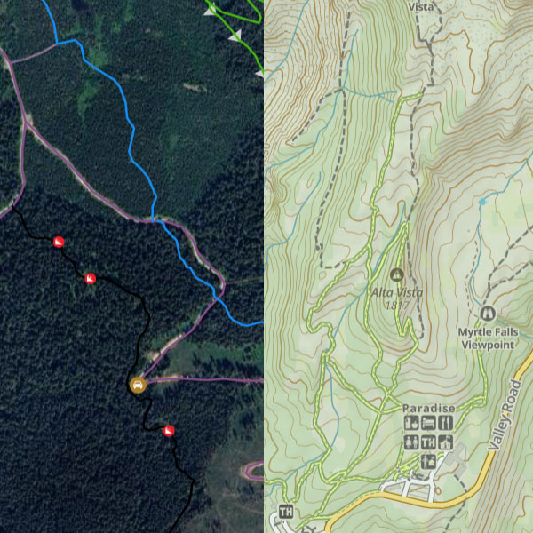
Every basemap
Satellite imagery, Gaia GPS topo maps, ArcGIS, USGS, national topo maps from a dozen countries and more.
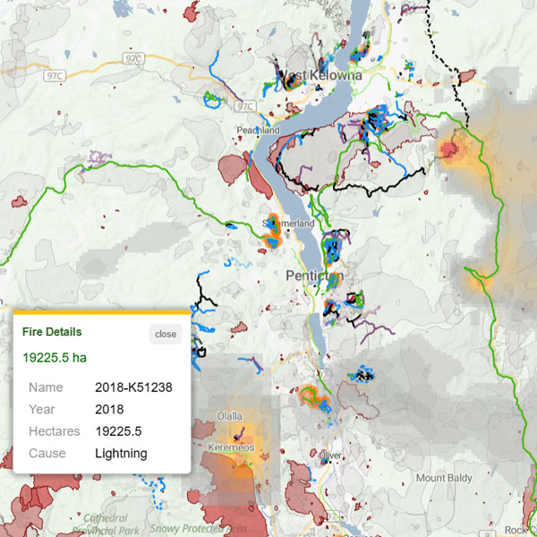
Premium map layers
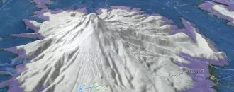
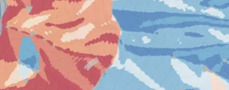
Weather, wildfire and smoke, avalanche terrain, land ownership, hunting units, cell coverage and more, all listed below.
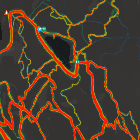
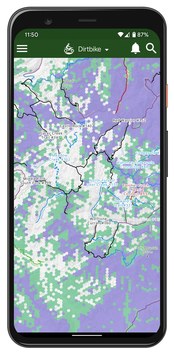
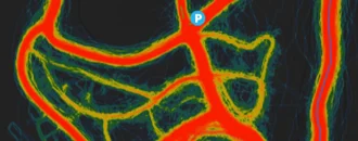
Global popularity heatmap
See where people ride, run and hike, anywhere in the world, from millions of recorded activities.
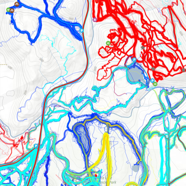
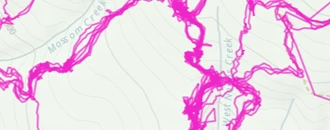
Activity recordings
The individual lines of public recordings on the map, for summer and for skiing and snowmobiling in winter.
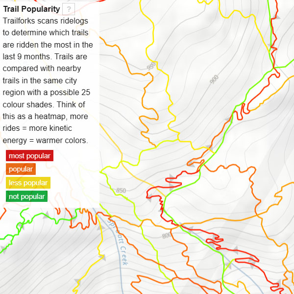
Trail popularity style
Colour every trail by how many people rode it in the last 9 months, ranked within each riding area.
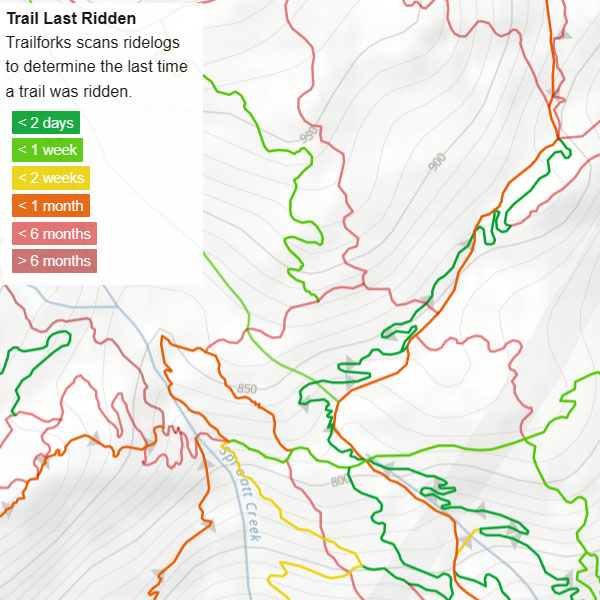
More trail styles
Colour trails by when they were last ridden, their direction, traffic flow or snow grooming.
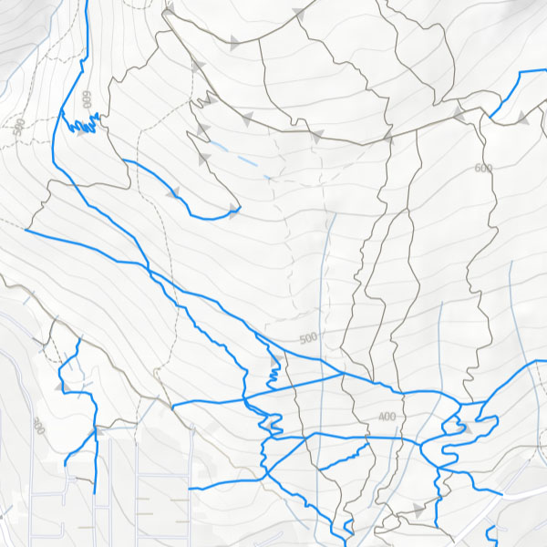
Map filters
Show only the trails you want by activity, difficulty, direction, trail type, condition and more.
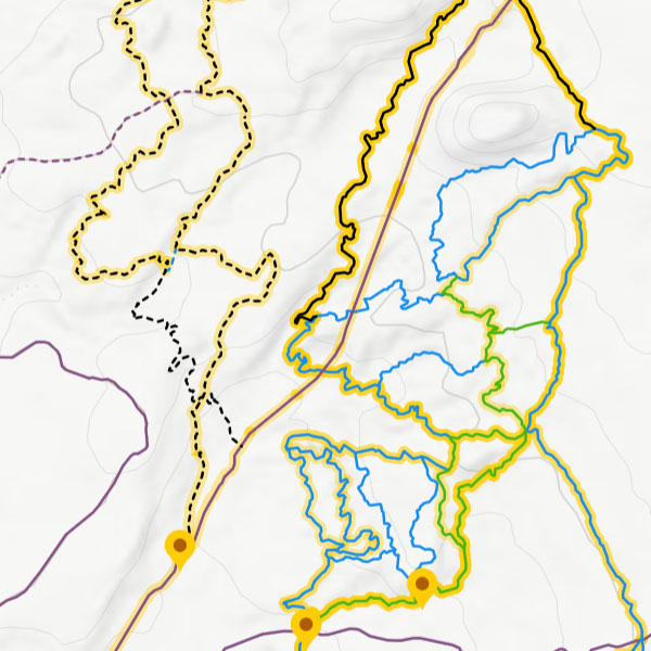
Routes, reports & content on the map
Turn routes, recent trail reports, photos and other content on or off on the map, with a reports panel for the area in view.
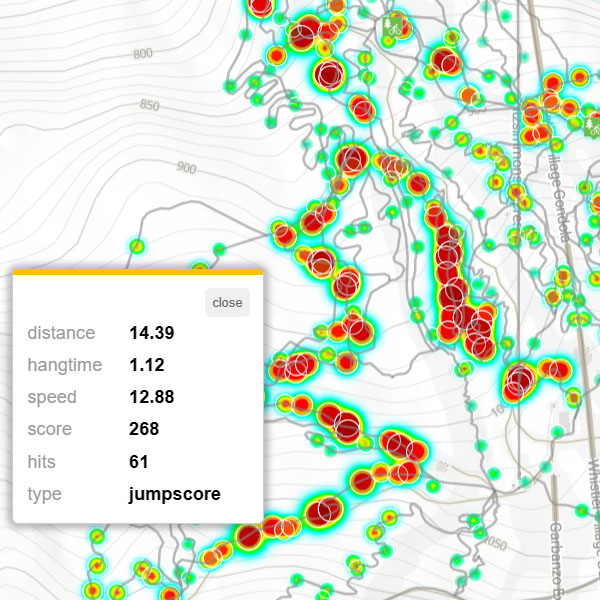
Jumps heatmap
Where the most and biggest jumps are, from Garmin mountain bike dynamics.
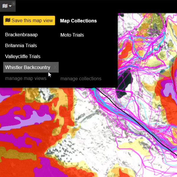
Saved map views & Adventure Modes
Save your favourite mix of basemap, layers and content, or switch to a ready-made mode for each activity.
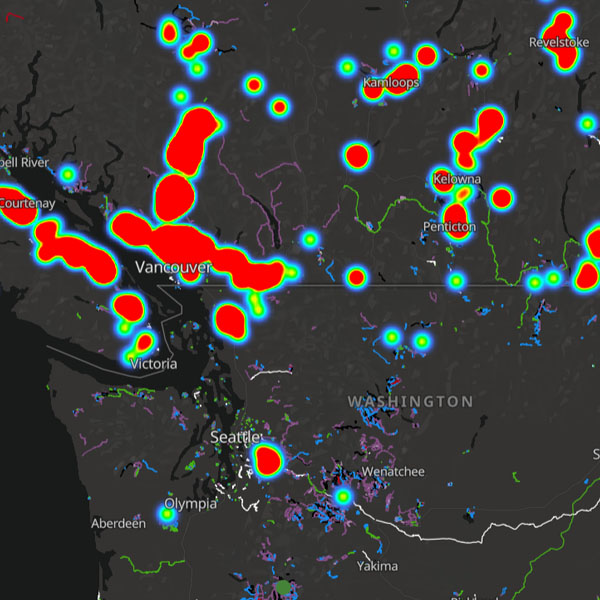
Your personal heatmaps
Every trail you have completed and the density of your own activity logs, as map layers.
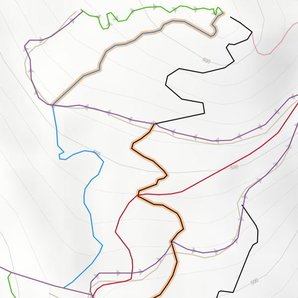
Top trails
Highlight the top 3 trails in every riding area, on by default in the Discover panel.
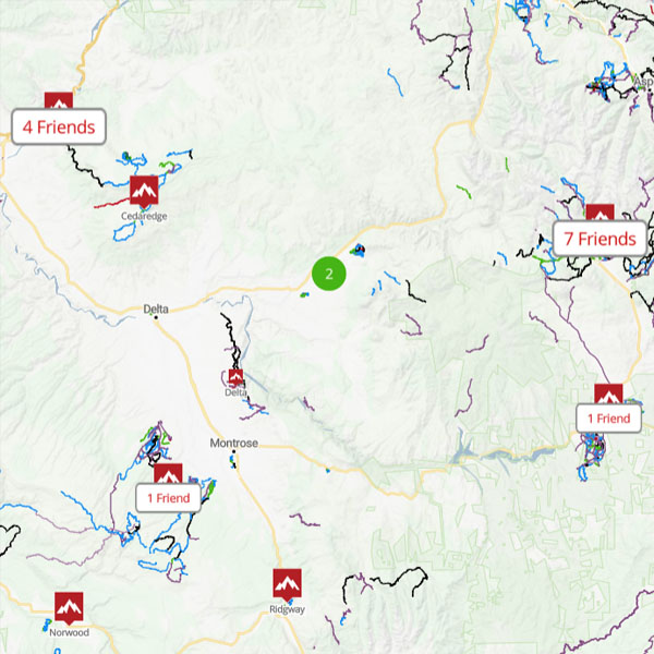
Region friend counts
How many of your friends have ridden in each region, to help pick where to go next.
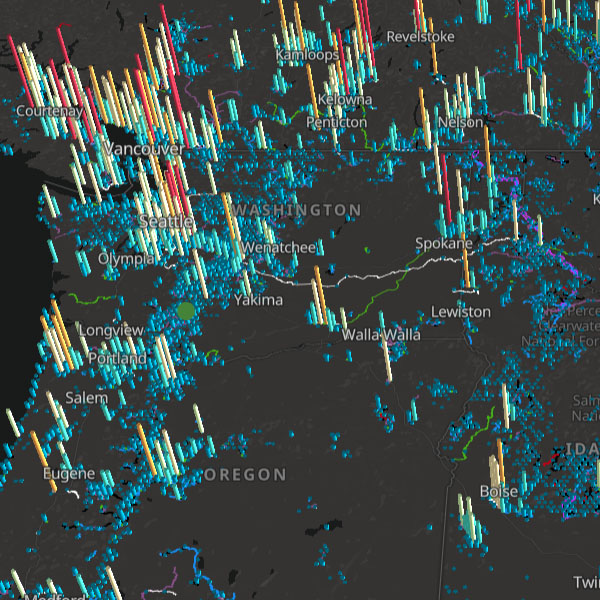
Trail density
A global view of where the trails are, for finding new places to explore.
Discovery, routes & planning
Find the best trails and loops, draw your own, see how far you can get and where you will have signal.
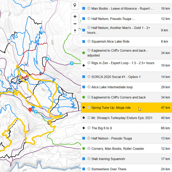
Route Finder
Every result and every filter: distance, climb, difficulty, activity and the trails you want to ride.
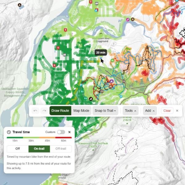
Travel time
How far you can ride, hike or ski from the end of your route plan in 15, 30, 45 and 60 minutes, at your own pace.
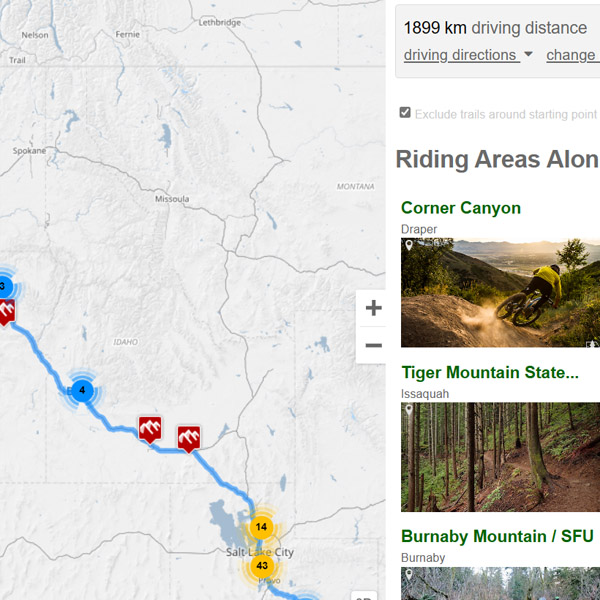
Road trip planner
Plan a road trip and find places to ride along the way, then save it as a route plan or export GPX and KML.
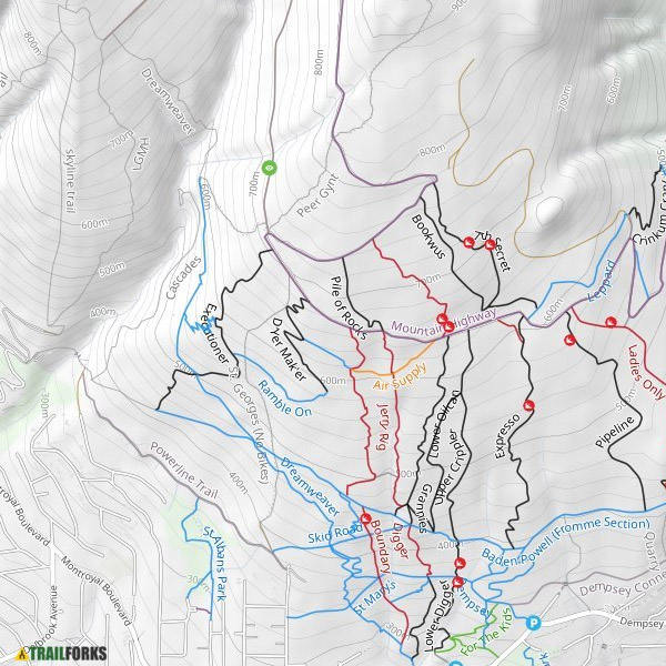
Print maps
Custom high resolution PDF map exports with your choice of basemap, layers, scale and paper size.
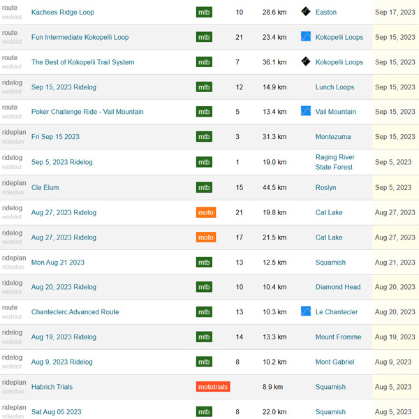
Wishlist
Save trails, routes, route plans, regions and points of interest you want to ride, and open them any time.

-
Discover
The top trails, routes, photos and rides near you in the Discover tab.
-
Routes & rides on every trail
Open any route that uses a trail, see all of them and every recent ride, and filter to your own or your friends'. Free: A preview of 15 routes and 10 rides
-
Sort & filter trail lists
Sort and filter the trail and route lists for a region, and the full worldwide trail list on the web.
-
Cell coverage on route plans
See where you will have Verizon, AT&T and T-Mobile service along a planned route, on the elevation chart. US only.
-
Route recommendations
Personalised route suggestions based on what you like to ride.
-
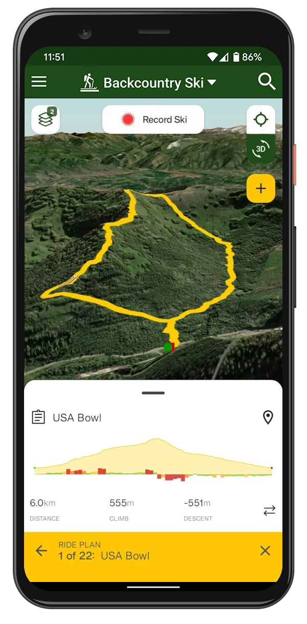
3D tour & GPX export of route plans
Fly the route plan in 3D, and send it to your GPS or Garmin as a file.
-
Routes & rides via your trails
Pick trails on the map and find routes and popular rides that use them. Free: 5 results, Pro gets 25
Weather, trail details & conditions
Forecasts and history for every trail system, live radar, and the full picture on every trail.
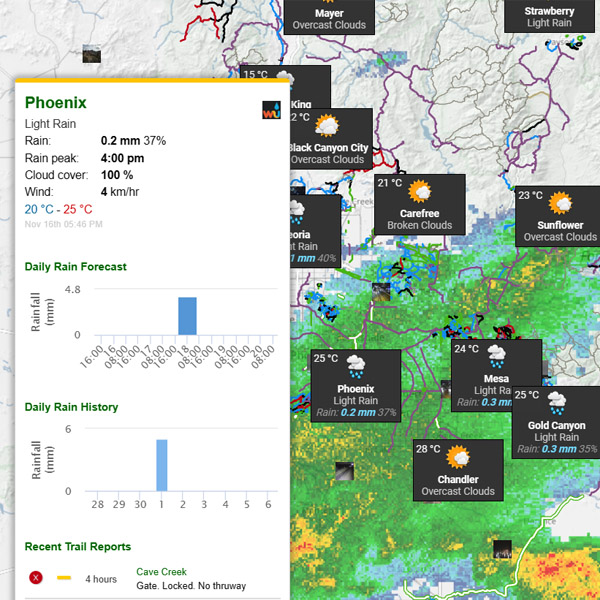
Weather map
Forecasts for trail systems around the world on one map, with precipitation radar on top.
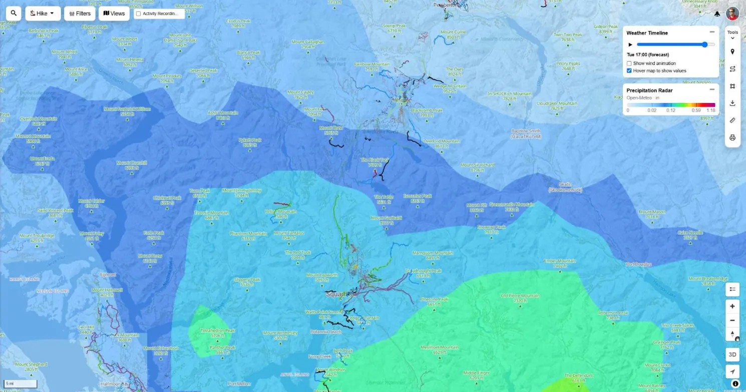
Animated weather layers
Radar, temperature, wind, snowfall, freezing level and more, on one timeline across every weather layer.
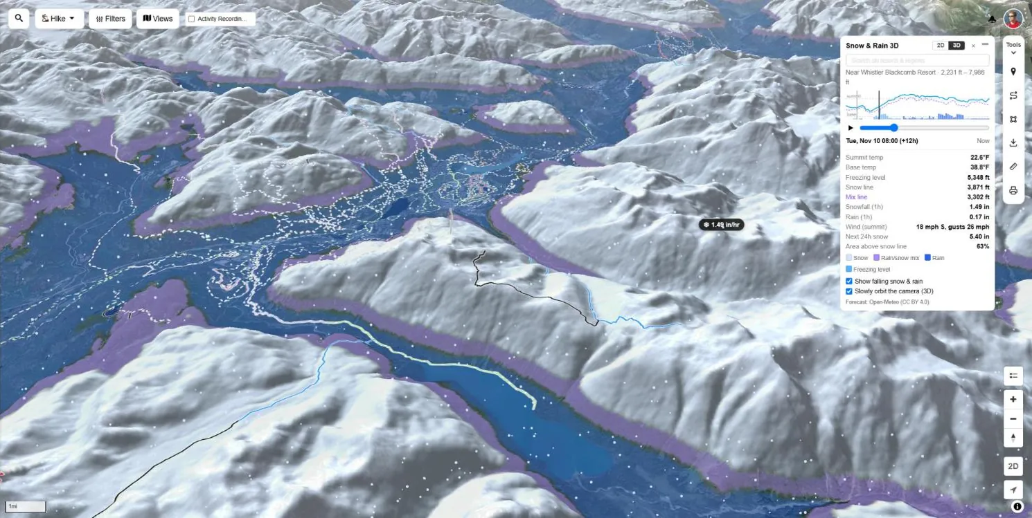
Snow & Rain 3D
Where it is snowing, where it turns to sleet and where it is raining, draped over 3D terrain.
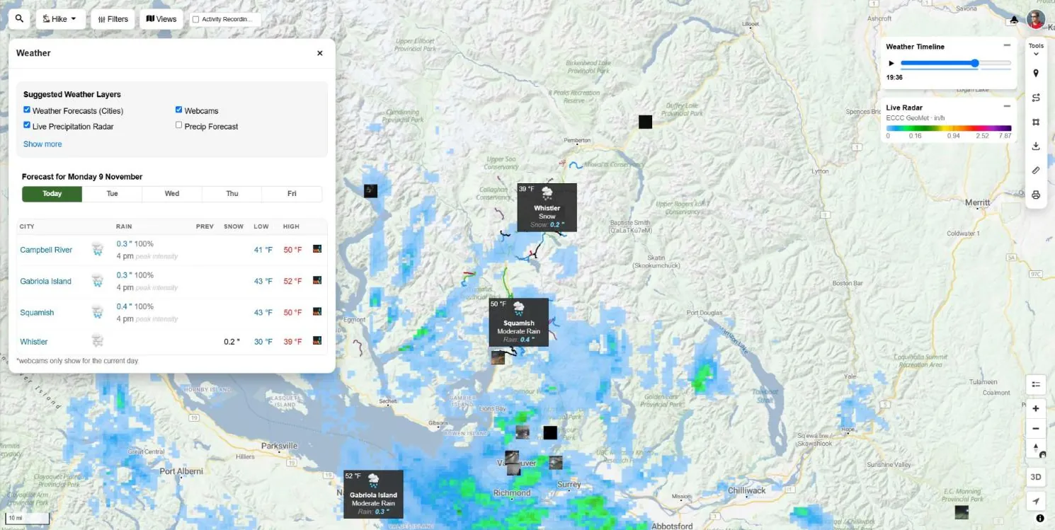
Weather panel
A 5-day forecast table for each town on the map, with yesterday's rain, and weather values at any marked location.
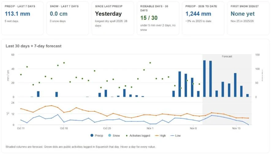
Region weather stats
Daily rain, snow and temperature history for each region: rideable days, dry spells, snow seasons and comparisons.
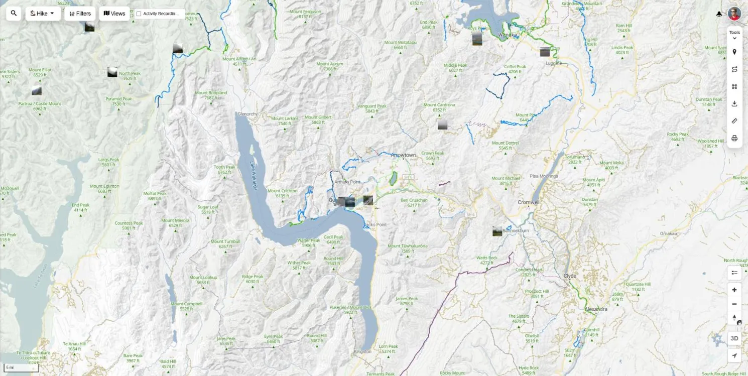
Webcams & city forecasts
Webcam thumbnails and local forecast markers on the map. Raining at home? Find the closest dry trail system.

Trail reports map
Browse recent trail reports on a map to see the status and condition of trails nearby.


-
Forecasts anywhere
The 5-day forecast for any spot you drop a pin on, and for every region and route.
-
Full trail stats
The elevation chart coloured by grade, average time, average rating, rider difficulty votes and when the trail was last ridden. Free: Locked
-
Every photo, video & review
All the photos, videos and reviews on every trail. Free: 2 photos, 1 video, 2 reviews
-
Status board
The status and condition of every trail in the regions you follow, on one board.
-
Reports on route plans
A reports tab in the route planner with the latest reports on every trail in your plan.
Activities, stats & leaderboards
Race the leaders in 3D, dig into trail and region stats, and get your data in and out.
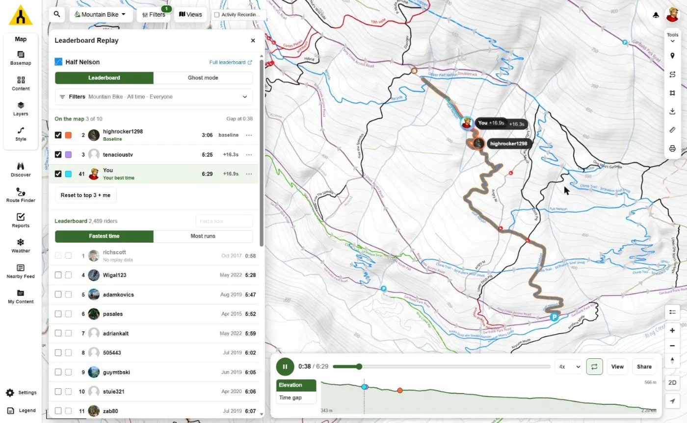
Leaderboard Replay
Watch a trail leaderboard race down the trail in 3D. Add yourself and your rival, use Ghost mode and filters, at up to 4x speed.
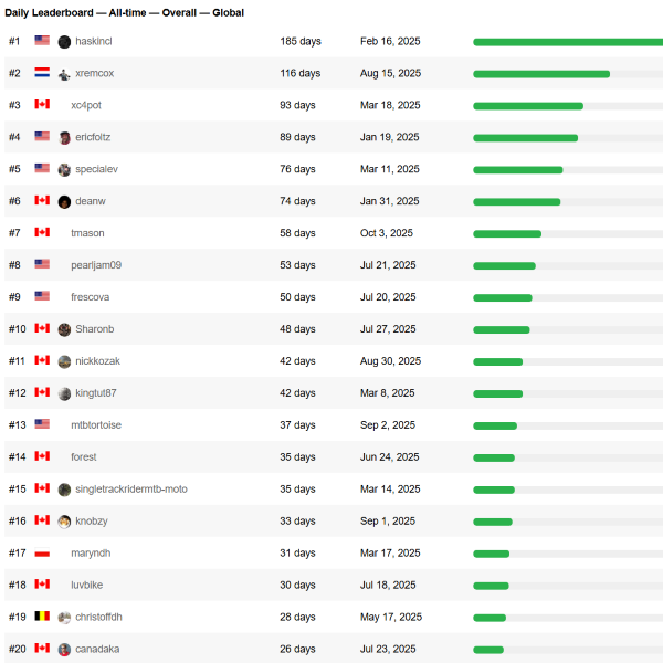
Streak leaderboards
The longest daily and weekly streaks in the world, your country and region, per activity type, with your rank.
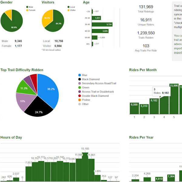
Trail usage stats
Activity counts by month, day and hour, plus trail check-in counts and region activity log stats.
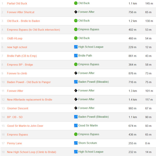
Strava segments
Popular Strava segments around trails, on the map and as a searchable list, for KOM hunting.

-
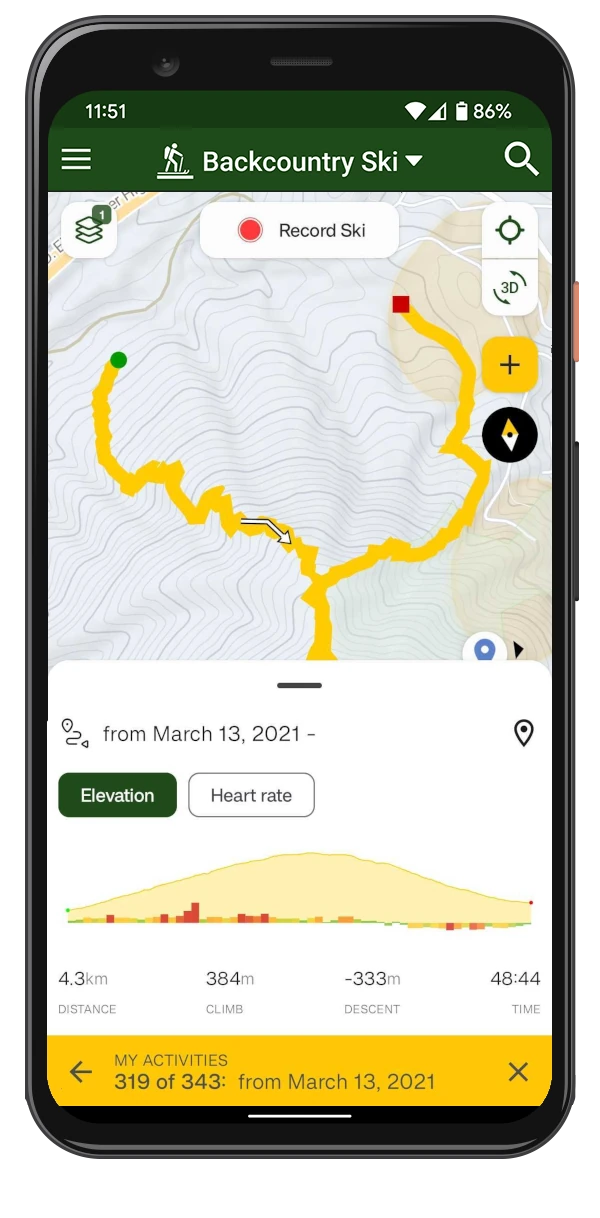
Activity stats
Your totals and trends for distance, climb, time and activities, in the app's activity stats tab.
-
Friends' activities
Your friends' activity feed in the app, and their rides in the activity finder and on the map on the web. Free: Counts only on the web
-
Other riders' activity logs
Browse every public activity log, not just the latest few. Free: 10
-
Download public activities
Download anyone's public activity log or popular route as GPX, KML, GeoJSON, FIT or CSV. Free: Your own activities
-
Strava historical import
Bring your whole Strava history into Trailforks, not just new activities.
-
Service tracker intervals
Unlimited service intervals for your bikes and components, with reminders when they are due. Free: 2 intervals
-
Your activities in AI assistants
Connect Claude and other assistants to your own Trailforks activities with the MCP server.
Groups, safety & account
Share your live location with your crew, get a safety net when you head out alone, and a few extras around the site.
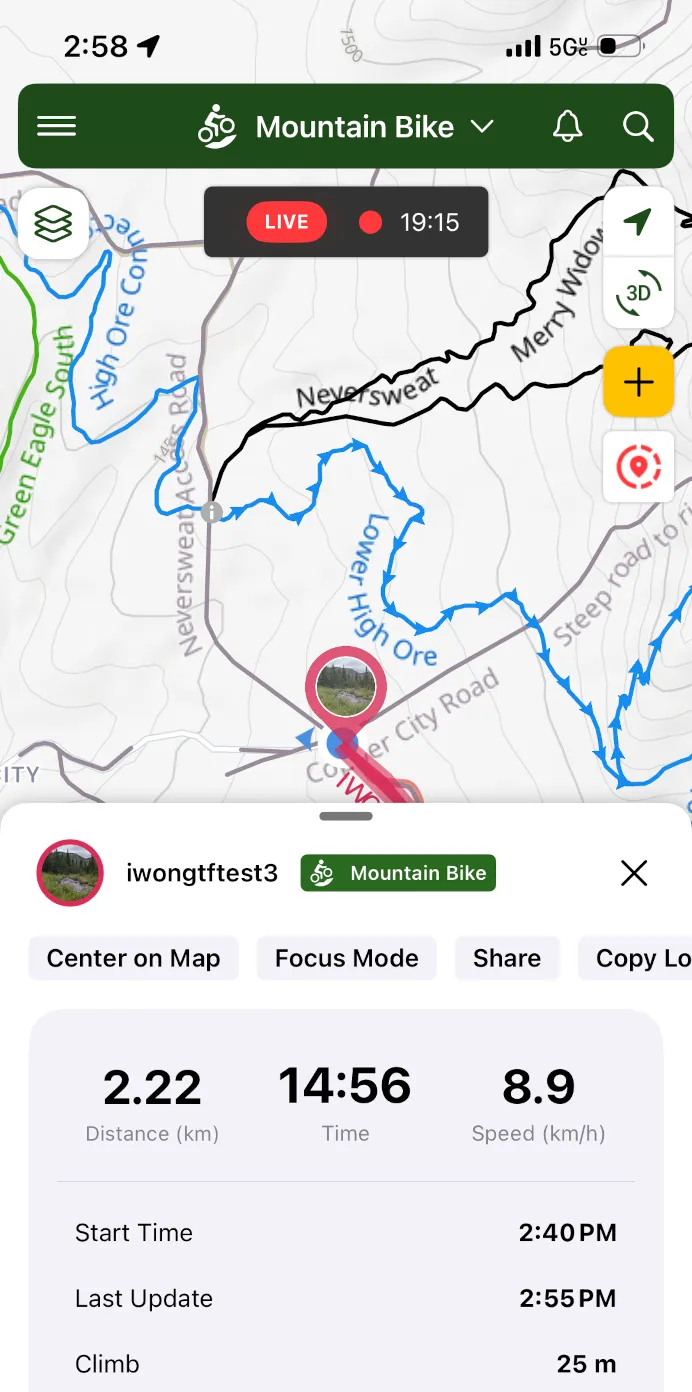
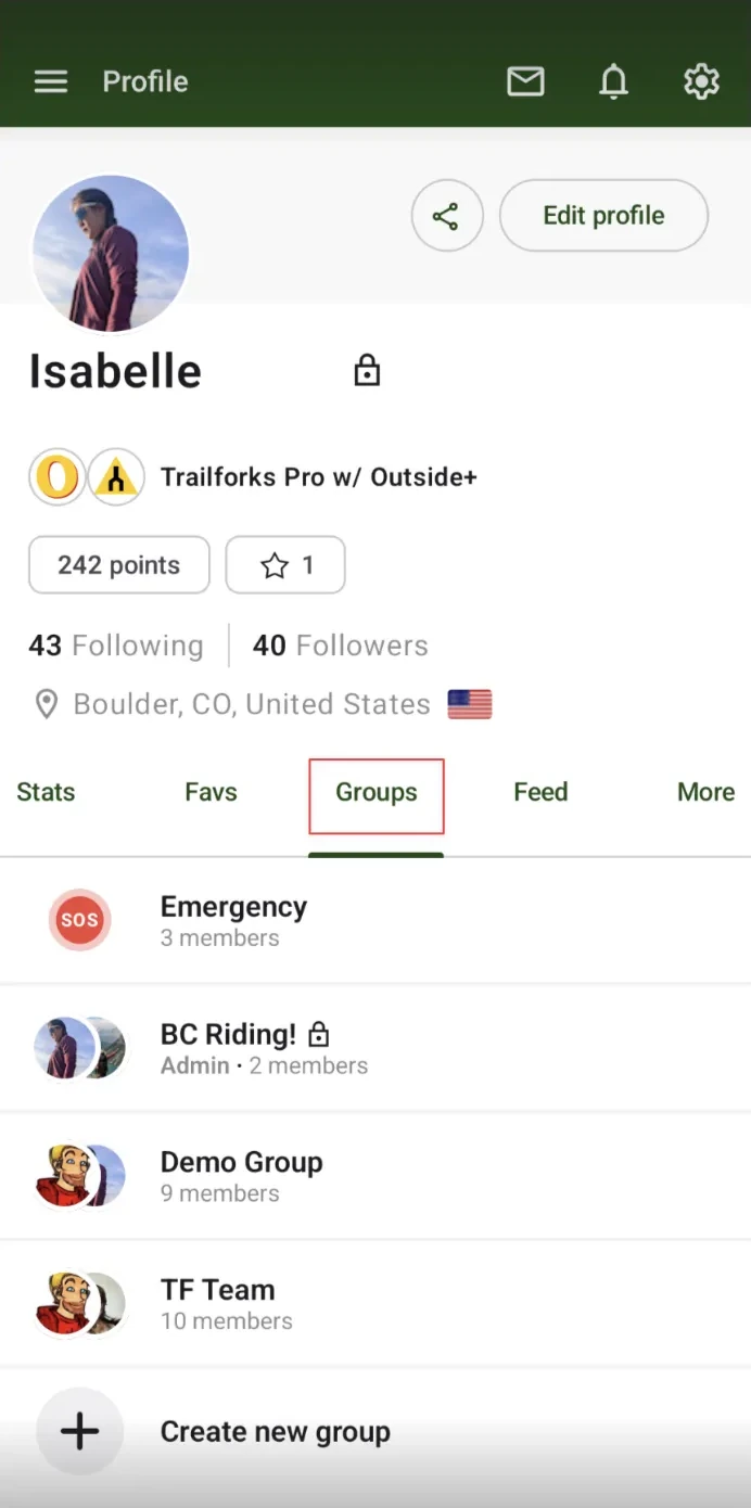
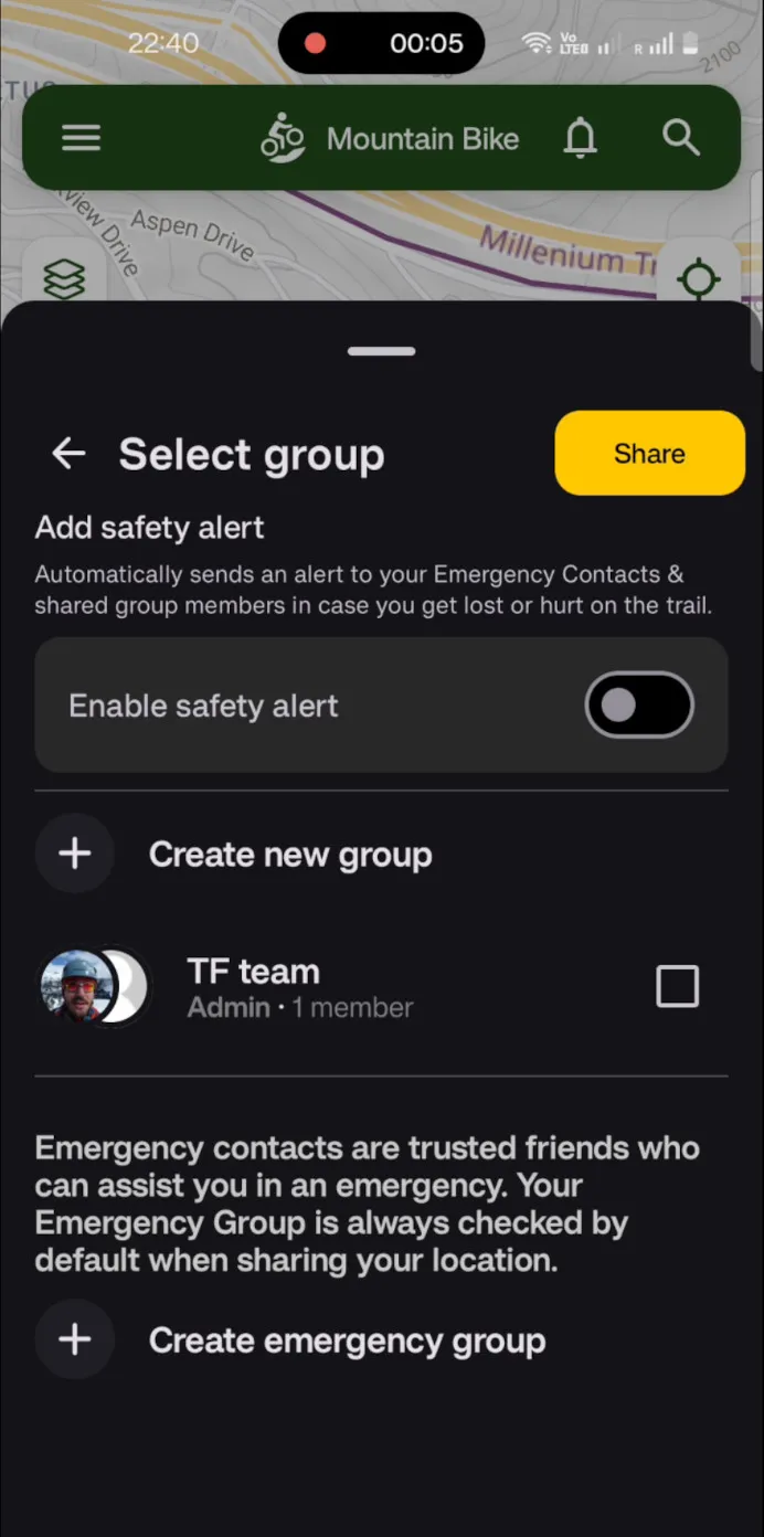
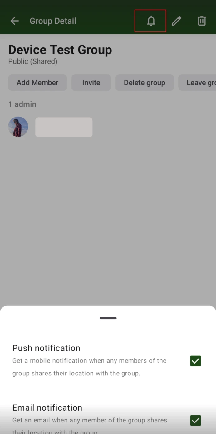
Group location sharing
Create location sharing groups with your whole crew, and add more than one emergency contact.
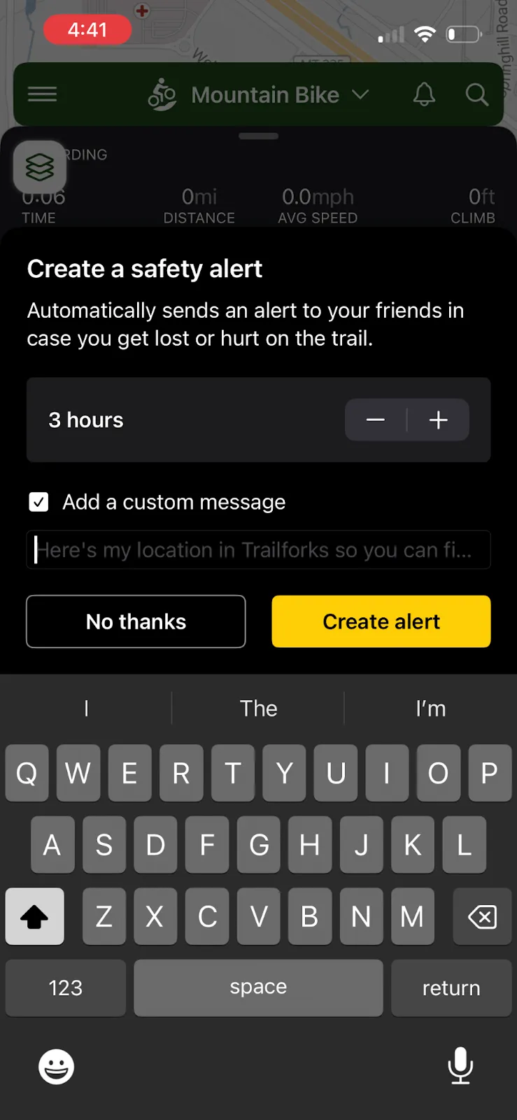
Auto-share & safety alerts
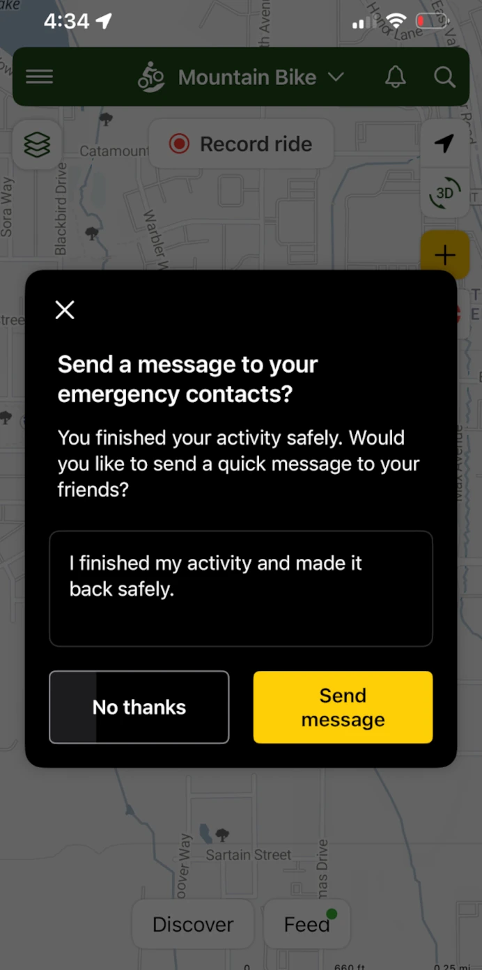
Share your location with your groups every time you record, get a safety alert if you are not back in time, and send an all-good message when you finish.
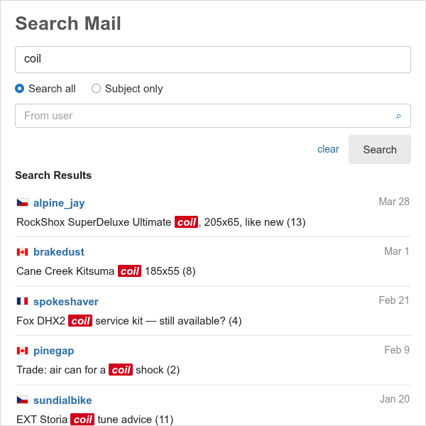
Search private messages
Full text or subject search through your messages, and filter your inbox by person.
-
My Content exports
List, map and export up to 1000 of your trails, routes, waypoints and other content. Free: 10 rows
-
Activity feed filters
Filter the global activity feed by content type and action.
-
Pro badge
A Pro icon on your profile, avatar and reviews.
-
Pinkbike extras
The same account on Pinkbike: Buy/Sell without the ad slot and no forum posting rate limits.
-
Pro for Teams
Pro seats for trail associations, search and rescue and land managers, with one bill.
-
Gift Pro
Buy a year of Trailforks Pro for a friend, or redeem a gift code.
356 premium map layers
Every overlay Pro unlocks on the Trailforks map, kept in step with the Layers panel. Hover a layer for its description.
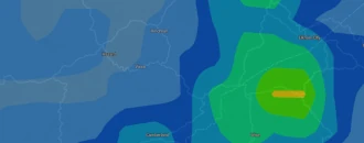
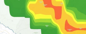
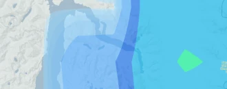
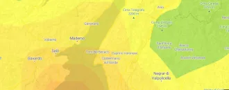
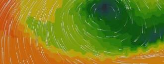
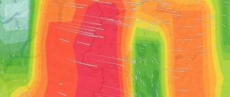
Weather, fire & smoke 24 layers




Terrain & avalanche 6 layers


Heatmaps 5 layers



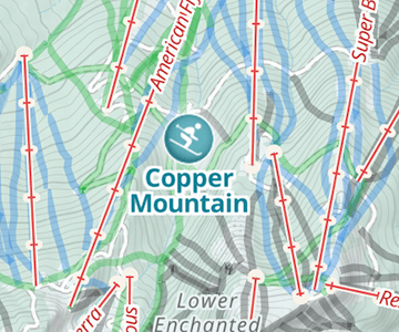
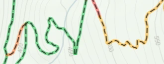
Trails & roads 11 layers


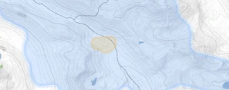


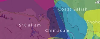
Land & boundaries 11 layers


Personal 2 layers
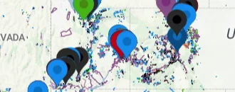
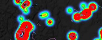
Discovery 1 layer

More overlays 16 layers
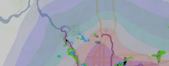
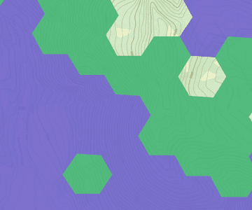




Hunting units 280 layers in 61 states & provinces


Show all 280 hunting layers
- AB PLUZs & PLRAs
- AB RFMAs
- AB WMUs
- AK GMUs and Subunits
- AK Legislatively Designated Areas
- AK Special Hunting Regulation Areas
- AL ADA Accessible Hunting Areas
- AL Forever Wild Tracts
- AL Special Hunting Opportunity Areas
- AL WMAs
- AR Bear Zones
- AR CWD Management Zone
- AR Deer Zones
- AR Elk Zones
- AR Turkey Zones
- AR WMAs
- AZ GMUs
- BC Game Mgmt Zones
- BC Guide Outfitting Areas
- BC Limited Entry Zones
- BC WMUs
- CA Antelope Hunt Zones
- CA Bighorn Sheep Hunt Zones
- CA Deer Hunt Zones
- CA Elk Hunt Zones
- CA Quail Hunt Zones
- CA Sooty & Ruffed Grouse Zone
- CA State Refuges
- CA Wildlife Areas & Reserves
- CO GMUs - Big Game
- CO GMUs - Bighorn Sheep
- CO GMUs - Mountain Goats
- CO Public Access Properties - 2025
- CO WIA Areas - 2025
- CT Public Hunting Areas
- DE Wildlife Areas
- FL Black Bear Mgmt Units
- FL Deer Mgmt Units
- FL WMAs
- GA WMAs
- Gaia Fishing - MT & OK
- HI Hunt Areas
- IA Deer Zones
- IA Fall Turkey Zones
- IA Grouse Hunting Zone
- IA IHAP - 2025
- IA Public Lands Open for Hunting
- IA Refuges
- IA Spring Turkey Zones
- IA Waterfowl Zones
- IA WMAs
- ID Access Yes! - 2025
- ID Antelope Control Hunts
- ID Bear Control Hunts
- ID Beaver Controlled Trapping Units
- ID Bighorn Sheep Control Hunts
- ID Deer Control Hunts
- ID Elk Control Hunts
- ID GMUs
- ID Large Tracts Access Areas
- ID Moose Control Hunts
- ID Mtn Goat Control Hunts
- ID Turkey Control Hunts
- ID Waterfowl Hunt Areas
- IL Public Hunting Areas
- IN Public Lands Open for Hunting
- KS WIHA Areas 2025-2026
- KS Wildlife Areas
- KY Bear Zones
- KY Deer Management Zones
- KY Elk Limited Entry Areas
- KY Elk Management Zone
- KY WMAs & Public Hunting Areas
- LA WMAs & Wildlife Refuges
- MA Public Lands Open for Hunting
- MA Waterfowl Zones
- MA Wildlife Mgmt Zones
- MA WMAs & WCEs
- MB Big Game Areas
- MB Wildlife Refuges
- MB WMAs
- MD Public Hunting Areas
- ME Wildlife Management Districts
- MI CF Land - 2025
- MI Deer Management Units
- MI Game and Wildlife Areas Open to Hunting
- MI HAP Areas - 2025
- MI State Forest Areas Open to Hunting
- MI State Parks Huntable Lands
- MN Bear Permit Areas
- MN Bobcat, Fisher, and Marten Zones
- MN Deer Permit Areas
- MN Furbearer Farmland and Forest Zones
- MN Furbearer Zones
- MN Ruffed Grouse Mgmt Areas
- MN Scientific and Natural Areas
- MN Turkey Permit Areas
- MN Waterfowl Zones
- MN WIA Areas - 2025
- MN WMAs
- MO Conservation Areas Open for Hunting
- MO Dove Fields
- MO MRAP Areas - 2025
- MS Dove Fields
- MS WMAs
- MT Antelope Districts 2025-2026
- MT Bighorn Sheep Districts 2025-2026
- MT Bison Districts 2025-2026
- MT Black Bear Districts 2025-2026
- MT Block Mgmt Areas - 2025
- MT Deer Elk & Lion Districts 2025-2026
- MT Gray Wolf Mgmt Units 2025-2026
- MT Moose Districts 2025-2026
- MT Mtn Goat Districts 2025-2026
- MT Turkey Districts 2025-2026
- MT UGBEP Areas - 2025
- MT Upland Game Bird Enhancement Program Access Area Boundaries 2017
- MT WMAs & State Lands Open for Hunting
- NB WMAs
- NB WMZs
- NC Game Lands
- ND Antelope Units
- ND Bighorn Sheep Units
- ND Bobcat Harvest Zone
- ND Deer Units
- ND Elk Units
- ND Fisher Harvest Zone
- ND Missouri River Canada Goose Zone
- ND Moose Units
- ND Mountain Lion Management Zones
- ND Non-Resident Waterfowl Zones
- ND PLOTS Areas - 2025
- ND Ruffed Grouse Units
- ND Sandhill Crane Units
- ND Sharp-Tailed Grouse Unit
- ND Turkey - Fall Units
- ND Turkey - Spring Units
- ND Waterfowl Hunting Units
- ND WMAs
- NE Antelope Firearm Units
- NE Antelope Muzzleloader Units
- NE Bighorn Sheep Unit
- NE Dark Goose Units
- NE Deer - AOSC Units
- NE Deer - River Antlerless Private Land Only
- NE Deer Firearm Units
- NE Duck Zones
- NE Elk Units
- NE Federal & Conservation Group Lands Open for Hunting
- NE Light Goose Zones
- NE Mule Deer Zones
- NE OFW Areas - 2025
- NE Teal Zones
- NE WMAs, WPAs & State Rec Areas
- NH WMUs
- NJ Deer Mgmt Zones
- NJ WMAs
- NM GMUs
- NM Open Gate Areas - 2025
- NS Deer Zones
- NS Moose Zones
- NV GMUs
- NV WMAs
- NY Canada Goose Zones
- NY Conservation Easements Open for Hunting
- NY State Forests Open for Hunting
- NY State Parks Open for Hunting
- NY Waterfowl Zones
- NY WMAs and MUAs
- NY WMUs
- OH State Forests Open for Hunting
- OH State Parks Open for Hunting
- OH Wildlife Areas Open for Hunting
- OK Deer Zones
- OK Duck Zones
- OK Elk Zones for Private Land
- OK OLAP Areas - 2025
- OK Turkey Limits - Fall
- OK Turkey Limits - Spring
- OK WMAs
- ON WMUs
- OR Wildlife Areas and Refuges
- OR WMUs
- PA CWD Management Units
- PA Elk Hunt Zones
- PA HAP Areas - 2025
- PA State Game Lands
- PA WMUs
- PEI WMAs
- Permitted Rivers
- RI Deer Hunt Areas
- SC Game Zones
- SC WMAs & Public Lands Open for Hunting
- SD Antelope - Archery Units
- SD Antelope - Firearm Units
- SD Bighorn Sheep - Black Hills Units
- SD Canada Goose Units
- SD Deer - Archery Antlerless & Muzzleloader Units
- SD Deer - West River, East River, Black Hills, Custer State Park, & Refuge Units
- SD Duck Zones
- SD Elk - Archery Units
- SD Elk - Black Hills Antlerless Units
- SD Elk - Black Hills Units
- SD Elk - CSP Early Archery Unit
- SD Elk - CSP Firearm Units
- SD Elk - Prairie Units
- SD Game Production Areas
- SD Mtn Goat - Black Hills Unit
- SD Nonresident Waterfowl Units
- SD Private Land Access - 2025
- SD State Parks Open for Hunting
- SD Tundra Swan Unit
- SD Turkey - Fall Units
- SD Turkey - Spring Units
- SK F&W Development Fund Lands
- SK Game Bird Districts & GBMUs
- SK NWAs
- SK WMZs
- TN - TVA Lands Open for Hunting
- TN Deer Hunting Units
- TN Elk Hunt Zones
- TN WMAs
- TX Dove & Small Game Areas - 2025
- TX Dove Hunting Zones
- TX WMAs
- UT Big Game Units - 2025
- UT Bison Units - 2025
- UT Black Bear Units - 2025
- UT Cougar Units - 2025
- UT CWMU Areas - 2025
- UT Deer General Season - 2025
- UT Deer Limited Entry - 2025
- UT Desert Bighorn Sheep Units - 2025
- UT Elk (Any Bull) General Season Units - 2025
- UT Elk Limited Entry Units - 2025
- UT Moose Units - 2025
- UT Mountain Goat Units - 2025
- UT Pronghorn Units - 2025
- UT Rocky Mtn Bighorn Sheep Units - 2025
- UT Spike Elk General Season Units - 2025
- UT Spring Turkey Units - 2025
- UT Turkey Limited Entry Units - 2025
- UT WMAs
- VA Ruffed Grouse & Small Game Habitat
- VA State Forests Open for Hunting
- VA State Parks Open for Hunting
- VA WMAs
- VT Wildlife Mgmt Units
- VT WMAs
- WA Bighorn Sheep Hunt Units - 2025
- WA Deer Special Hunt Units - 2025
- WA Elk Special Hunt Units - 2025
- WA GMUs
- WA Moose Hunt Units - 2025
- WA Mtn Goat Hunt Units - 2025
- WA PLHO Areas - 2025
- WA Wildlife Areas
- WI Bear Mgmt Zones
- WI Deer Mgmt Zones, Units, & Subunits
- WI Turkey Mgmt Zones
- WV WMAs & Forests
- WY Antelope Units - 2025
- WY Bighorn Sheep Units - 2025
- WY Bison Units - 2025
- WY Black Bear Units - 2025
- WY Bobcat Units - 2025
- WY Elk Units - 2025
- WY Grizzly Bear Units - 2025
- WY HMA - 2025
- WY Moose Units - 2025
- WY Mtn Lion Units - 2025
- WY Mule Deer Units - 2025
- WY Pheasant Units - 2025
- WY Rocky Mtn Goat Units - 2025
- WY Sage Grouse Units - 2025
- WY Sandhill Crane Units - 2025
- WY Turkey Units - 2025
- WY Whitetail Deer Units - 2025
- WY WIHA - 2025
- YT Outfitting Areas
52 premium basemaps
Satellite imagery, Gaia GPS topo maps and official topo maps from around the world, under your trails.
Trailforks 1 basemap

Satellite & aerial 8 basemaps


Gaia GPS 6 basemaps



United States 8 basemaps


Canada 2 basemaps


Europe 9 basemaps


Australia, New Zealand & Asia 6 basemaps


Historic topo 4 basemaps


More basemaps 8 basemaps


Trailforks Pro FAQ
What do I get with Trailforks Pro?
Trailforks Pro unlocks unlimited offline region and basemap downloads in the app, 3D maps, every basemap and premium map layer, the global heatmaps, map filters and trail styles, the full Route Finder, weather maps and layers, unlimited wishlist and waypoints, GPX and KML downloads, Garmin maps, print maps and full access to every trail report, photo and comment.
Does Trailforks Pro work in the app and on the website?
Yes. One subscription unlocks Pro on trailforks.com and in the Trailforks app on up to five devices. A few features are app only, like offline downloads and compass mode, and some are web only, like the weather map, print maps and the road trip planner. The phone and desktop icons on this page show where each feature is.
What can I do with a free Trailforks account?
Free accounts can browse trails, points of interest and routes on the 2D map, see their location, download one region at a time, record and log activities, submit trail reports, photos and comments, rate trails, follow friends, join badges and contests, and see recent trail reports and a few photos and comments on each trail.
Is Trailforks Pro included with Outside+?
Yes. Outside+ includes everything in Trailforks Pro and Gaia GPS Premium, plus digital access to the Outside network of publications, Outside Watch and Outside Learn.
Which map layers and basemaps are Pro?
The full list is on this page and comes straight from the Trailforks map, so it is always current. Pro includes premium weather, wildfire and smoke, avalanche and slope, land ownership, hunting unit, cell coverage, US Forest Service and Gaia GPS overlays, and basemaps from satellite imagery to national topo maps.
Can trail associations get Trailforks Pro?
Board members of non-profit trail associations who are set up as region admins get Pro free. Trail associations, search and rescue teams and land managers can also buy Pro seats for their whole crew with Trailforks Pro for Teams.
Unlock all of it
Try Trailforks Pro free for 14 days, on the web and on up to five devices.
Compare Free, Pro & Outside+ · More features: Weather Maps · Route Planner · Leaderboards · Location Sharing · All Features