

Open in App
Get this trail on your phone instantly.

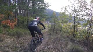
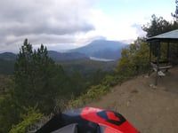
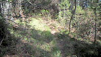
The name of the trail derives from its exit point where it hits a U-turn on the road that connects the villages of Molista and Gannadio. It has been reffered to by locals for many years. It's first uphill section is rather steep and requires physical strength as well as climbing technique but the downhill section is rahter easy with only a small steep and slippery part and a couple of rocky switchbacks towards the exit.
Users enter at own risk and are required to take necessary precautions



Service Road Atlas is a free to use, community-driven service for viewing and creating reports on the numerous back-country service roads around B.C. and Alberta.
Save the current map location and zoom level as your default home location whenever this page is loaded.
Save
No reviews yet, be the first to write a review or ask a question.
Use trail reports to comment on trail conditions.
We hope you've been enjoying Trailforks!
Create a FREE account to view all trail reviews and much more.
You must enter a description before submitting.

